Goroka night lights from space
Night Light of Goroka (Eastern Highlands) from space (Papua New Guinea) Src. Average luminocity for 10x10km area is 11.7521% and for 50x50km: 0.7414%.
Analysis of Goroka night lights 2016
Square area 10x10 km:
 3.72%
3.72%90-99
4.55%80-89
0.41%70-79
0.41%60-69
0%50-59
0%40-49
0%30-39
0%20-29
0%10-19
0.83%0-9
90.08%Square area 50x50 km:
0.18%90-99
0.2%80-89
0.03%70-79
0.03%60-69
0.16%50-59
0.08%40-49
0%30-39
0%20-29
0%10-19
0.03%0-9
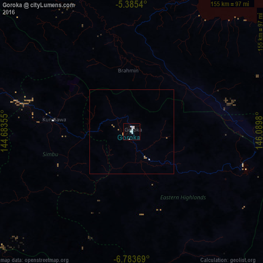
99.28%Clear (daylight) street map image can be seen on geolist.org.
Map coordinates:
5° 23' 7.4" South, 144° 41' 0.8" East
6° 5' 6" South, 145° 23' 12" East
6° 47' 1.3" South, 146° 5' 23.3" East
Some cities around Goroka sort by population:
• Mount Hagen
130.3 km =81 mi,  281°
281°
• Madang
105.7 km =65.7 mi,  24°
24°
• Mendi
191.4 km =118.9 mi,  267°
267°
• Bulolo
186.1 km =115.6 mi,  131°
131°
• Kundiawa
46.7 km =29 mi, 278°
• Kainantu
57.6 km =35.8 mi,  113°
113°
• Ialibu
155.6 km =96.7 mi,  261°
261°
• Kurumul
87.4 km =54.3 mi,  287°
287°
2096742 (p: 18,503)
Sources (retrieved 2019-11-25):
» Earth at Night: Flat Maps 2012, 2016