Port Moresby night lights from space
Night Light of Port Moresby (National Capital) from space (Papua New Guinea) Src. Average luminocity for 10x10km area is 42.3571% and for 50x50km: 6.6542%.
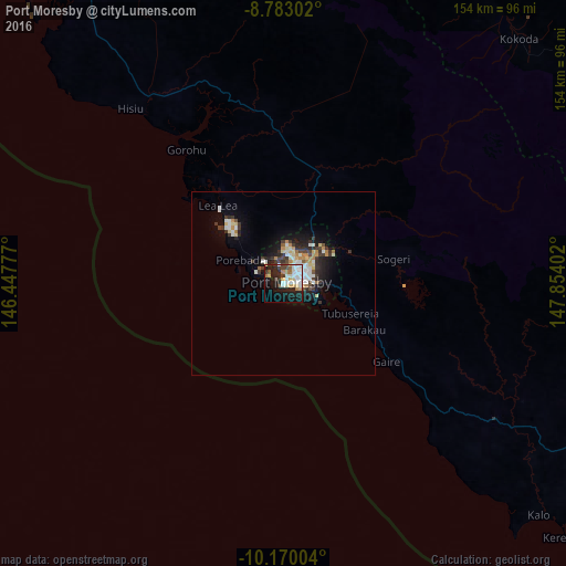
Analysis of Port Moresby night lights 2016
Square area 10x10 km:
 8.87%
8.87%90-99
12.99%80-89
5.41%70-79
3.25%60-69
3.03%50-59
1.3%40-49
4.76%30-39
3.9%20-29
14.94%10-19
25.97%0-9
15.58%Square area 50x50 km:
1.1%90-99
1.38%80-89
0.79%70-79
0.72%60-69
0.63%50-59
0.25%40-49
0.65%30-39
1.56%20-29
1.84%10-19
4.18%0-9
86.91%Clear (daylight) street map image can be seen on geolist.org.
Map coordinates:
8° 46' 58.9" South, 146° 26' 52" East
9° 28' 38" South, 147° 9' 3.2" East
10° 10' 12.1" South, 147° 51' 14.5" East
Some cities around Port Moresby sort by population:
• Lae
306.7 km =190.6 mi,  356°
356°
• Popondetta
142.7 km =88.7 mi,  56°
56°
• Bulolo
259 km =160.9 mi,  347°
347°
• Wau
242.6 km =150.7 mi, 348°
• Alotau
374 km =232.4 mi,  104°
104°
• Kainantu
381.7 km =237.2 mi,  338°
338°
• Kokoda
92.6 km =57.5 mi,  43°
43°
• Kerema
226.7 km =140.9 mi,  318°
318°
2088122 (p: 283,733)
Sources (retrieved 2019-11-25):
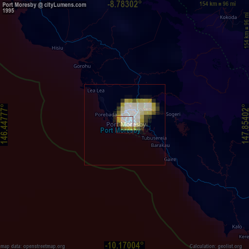
» NASA, Earths city lights 1995
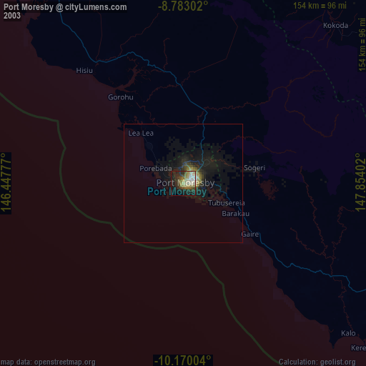
» NASA city lights 2003
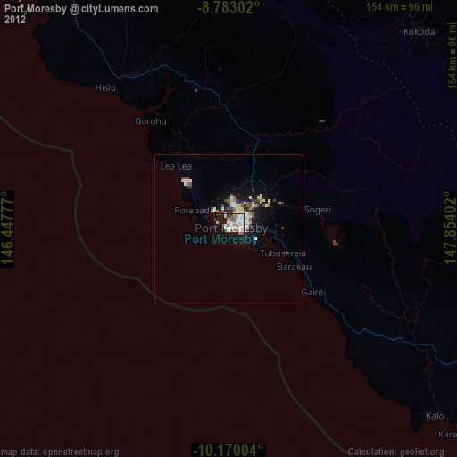
» Earth at Night: Flat Maps 2012, 2016