Alotau night lights from space
Night Light of Alotau (Milne Bay) from space (Papua New Guinea) Src. Average luminocity for 10x10km area is 4.7934% and for 50x50km: 0.3249%.
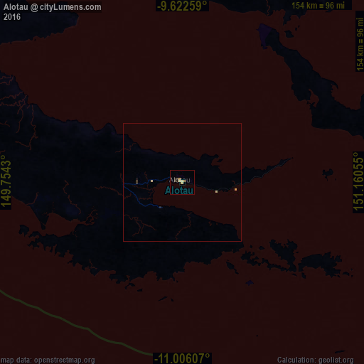
Analysis of Alotau night lights 2016
Square area 10x10 km:
 0%
0%90-99
0.21%80-89
1.45%70-79
1.65%60-69
0%50-59
0.83%40-49
0%30-39
1.24%20-29
1.65%10-19
1.24%0-9
91.74%Square area 50x50 km:
0%90-99
0.01%80-89
0.14%70-79
0.08%60-69
0%50-59
0.03%40-49
0%30-39
0.12%20-29
0.1%10-19
0.08%0-9
99.43%Clear (daylight) street map image can be seen on geolist.org.
Map coordinates:
9° 37' 21.3" South, 149° 45' 15.5" East
10° 18' 54.3" South, 150° 27' 26.7" East
11° 0' 21.9" South, 151° 9' 38" East
Some cities around Alotau sort by population:
• Port Moresby
374 km =232.4 mi,  284°
284°
• Lae
551.6 km =342.7 mi,  316°
316°
• Popondetta
298.7 km =185.6 mi,  305°
305°
• Kimbe
530.9 km =329.9 mi,  356°
356°
• Bulolo
543.7 km =337.8 mi, 309°
• Wau
527.7 km =327.9 mi, 308°
• Kokoda
338.4 km =210.3 mi,  298°
298°
• Kerema
577.1 km =358.6 mi, 296°
2133990 (p: 10,025)
Sources (retrieved 2019-11-25):
» Earth at Night: Flat Maps 2012, 2016