Madang night lights from space
Night Light of Madang from space (Papua New Guinea) Src. Average luminocity for 10x10km area is 16.9628% and for 50x50km: 0.9847%.
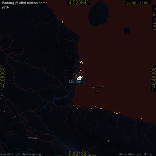
Analysis of Madang night lights 2016
Square area 10x10 km:
 6.61%
6.61%90-99
4.96%80-89
0.41%70-79
0%60-69
0%50-59
0%40-49
0.83%30-39
1.24%20-29
0%10-19
3.51%0-9
82.44%Square area 50x50 km:
0.29%90-99
0.26%80-89
0.07%70-79
0.07%60-69
0%50-59
0%40-49
0.03%30-39
0.14%20-29
0%10-19
0.15%0-9
99%Clear (daylight) street map image can be seen on geolist.org.
Map coordinates:
4° 31' 15.4" South, 145° 5' 1.8" East
5° 13' 17.5" South, 145° 47' 13" East
5° 55' 16.8" South, 146° 29' 24.3" East
Some cities around Madang sort by population:
• Lae
213.9 km =132.9 mi,  141°
141°
• Mount Hagen
186.2 km =115.7 mi,  247°
247°
• Goroka
105.7 km =65.7 mi,  204°
204°
• Kundiawa
126.7 km =78.7 mi,  225°
225°
• Kainantu
119 km =73.9 mi,  175°
175°
• Ialibu
230.8 km =143.4 mi,  239°
239°
• Wabag
230.6 km =143.3 mi,  262°
262°
• Kurumul
146 km =90.7 mi, 241°
2091996 (p: 27,419)
Sources (retrieved 2019-11-25):
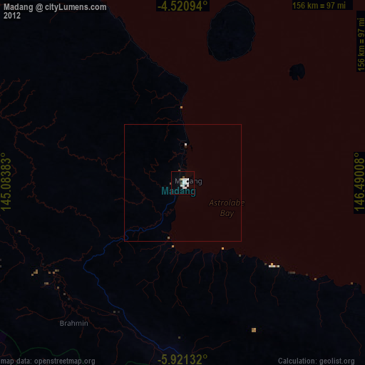
» Earth at Night: Flat Maps 2012, 2016