Kurumul night lights from space
Night Light of Kurumul (Jiwaka) from space (Papua New Guinea) Src. Average luminocity for 10x10km area is 0.0186% and for 50x50km: 1.1988%.
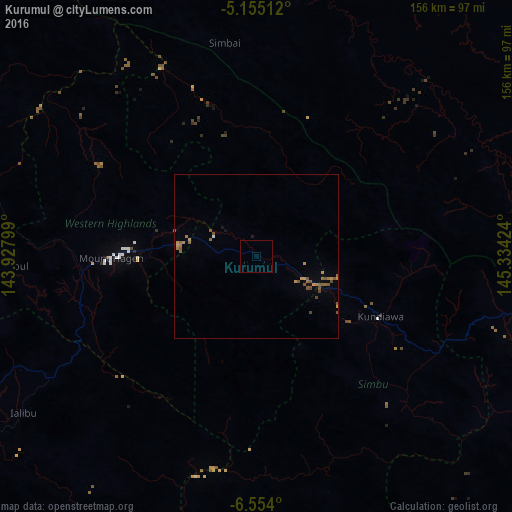
Analysis of Kurumul night lights 2016
Square area 10x10 km:
 0%
0%90-99
0%80-89
0%70-79
0%60-69
0%50-59
0%40-49
0%30-39
0%20-29
0%10-19
0%0-9
100%Square area 50x50 km:
0.03%90-99
0.01%80-89
0%70-79
0.38%60-69
0.27%50-59
0.69%40-49
0.21%30-39
0%20-29
0%10-19
0.09%0-9
98.33%Clear (daylight) street map image can be seen on geolist.org.
Map coordinates:
5° 9' 18.4" South, 143° 55' 40.8" East
5° 51' 18" South, 144° 37' 52" East
6° 33' 14.4" South, 145° 20' 3.3" East
Some cities around Kurumul sort by population:
• Mount Hagen
44.3 km =27.5 mi,  269°
269°
• Madang
146 km =90.7 mi,  61°
61°
• Mendi
112.6 km =70 mi,  253°
253°
• Goroka
87.4 km =54.3 mi,  107°
107°
• Kundiawa
41.6 km =25.8 mi,  116°
116°
• Kainantu
144.7 km =89.9 mi, 109°
• Ialibu
85 km =52.8 mi,  236°
236°
• Wabag
108.5 km =67.4 mi,  291°
291°
2092952 (p: 0)
Sources (retrieved 2019-11-25):
» Earth at Night: Flat Maps 2012, 2016