Kimbe night lights from space
Night Light of Kimbe (West New Britain) from space (Papua New Guinea) Src. Average luminocity for 10x10km area is 5.4773% and for 50x50km: 0.436%.
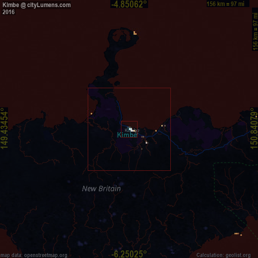
Analysis of Kimbe night lights 2016
Square area 10x10 km:
 1.24%
1.24%90-99
2.07%80-89
0%70-79
0.83%60-69
0%50-59
0%40-49
0%30-39
0%20-29
2.69%10-19
1.03%0-9
92.15%Square area 50x50 km:
0.07%90-99
0.1%80-89
0%70-79
0.07%60-69
0.07%50-59
0%40-49
0%30-39
0.09%20-29
0.21%10-19
0.08%0-9
99.31%Clear (daylight) street map image can be seen on geolist.org.
Map coordinates:
4° 51' 2.2" South, 149° 26' 4.3" East
5° 33' 3.1" South, 150° 8' 15.6" East
6° 15' 0.9" South, 150° 50' 26.8" East
Some cities around Kimbe sort by population:
• Lae
371 km =230.5 mi,  249°
249°
• Popondetta
414.6 km =257.6 mi,  210°
210°
• Kokopo
271.6 km =168.8 mi,  60°
60°
• Bulolo
427.9 km =265.9 mi,  244°
244°
• Wau
427 km =265.3 mi, 242°
• Kavieng
339 km =210.6 mi,  12°
12°
• Rabaul
270 km =167.8 mi, 56°
• Kokoda
455 km =282.7 mi,  215°
215°
2093967 (p: 18,847)
Sources (retrieved 2019-11-25):
» Earth at Night: Flat Maps 2012, 2016