Puno night lights from space
Night Light of Puno from space (Peru) Src. Average luminocity for 10x10km area is 39.3009% and for 50x50km: 2.1251%.
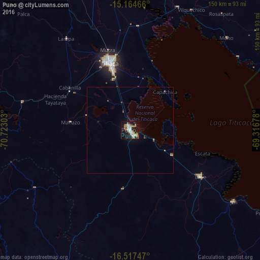
Analysis of Puno night lights 2016
Square area 10x10 km:
 6.71%
6.71%90-99
8.01%80-89
6.49%70-79
4.98%60-69
5.63%50-59
5.19%40-49
1.52%30-39
3.46%20-29
4.55%10-19
40.26%0-9
13.2%Square area 50x50 km:
0.25%90-99
0.3%80-89
0.29%70-79
0.3%60-69
0.23%50-59
0.32%40-49
0.18%30-39
0.2%20-29
0.28%10-19
1.92%0-9
95.71%Clear (daylight) street map image can be seen on geolist.org.
Map coordinates:
15° 9' 52.8" South, 70° 43' 22.9" West
15° 50' 31.9" South, 70° 1' 11.6" West
16° 31' 2.9" South, 69° 19' 0.4" West
Some cities around Puno sort by population:
• Juliaca
39.9 km =24.8 mi,  342°
342°
• Yunguyo
109.9 km =68.3 mi,  114°
114°
• Ilave
46.3 km =28.8 mi,  125°
125°
• Azángaro
105.5 km =65.6 mi,  349°
349°
• Atuncolla
22.5 km =14 mi,  321°
321°
• Putina
74.9 km =46.5 mi,  57°
57°
• Hacienda Huancane
92.6 km =57.5 mi,  271°
271°
• Juli
73.8 km =45.9 mi,  124°
124°
3931276 (p: 116,552)
Sources (retrieved 2019-11-25):
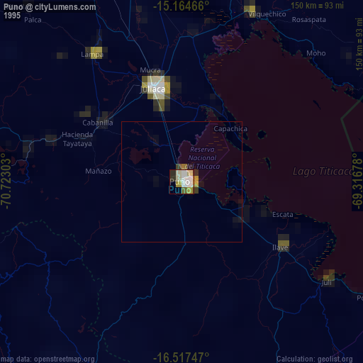
» NASA, Earths city lights 1995
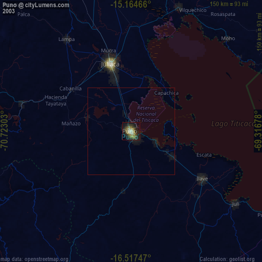
» NASA city lights 2003
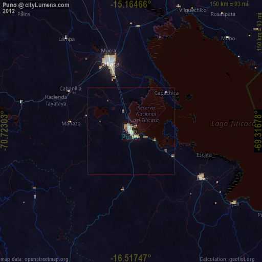
» Earth at Night: Flat Maps 2012, 2016