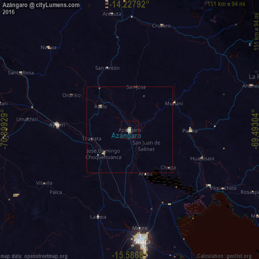
Azángaro night lights from space
Night Light of Azángaro (Puno) from space (Peru) Src. Average luminocity for 10x10km area is 7.1591% and for 50x50km: 0.5808%.
Analysis of Azángaro night lights 2016
Square area 10x10 km:
 0.83%
0.83%90-99
0.83%80-89
1.65%70-79
0.83%60-69
1.65%50-59
1.03%40-49
1.45%30-39
0%20-29
0%10-19
0%0-9
91.74%Square area 50x50 km:
0.03%90-99
0.03%80-89
0.16%70-79
0.07%60-69
0.15%50-59
0.14%40-49
0.08%30-39
0.09%20-29
0.03%10-19
0%0-9
99.21%Clear (daylight) street map image can be seen on geolist.org.
Map coordinates:
14° 13' 40.5" South, 70° 53' 57.4" West
14° 54' 30.3" South, 70° 11' 46.2" West
15° 35' 12.5" South, 69° 29' 34.9" West
Some cities around Azángaro sort by population:
• Juliaca
66.1 km =41.1 mi,  174°
174°
• Puno
105.5 km =65.6 mi, 169°
• La Rinconada
86.3 km =53.6 mi,  69°
69°
• Ayaviri
42.3 km =26.3 mi,  273°
273°
• Atuncolla
86.3 km =53.6 mi,  176°
176°
• Putina
103.4 km =64.2 mi,  127°
127°
• Hacienda Huancane
125.7 km =78.1 mi,  215°
215°
• Macusani
95.2 km =59.2 mi,  344°
344°
3946937 (p: 13,290)
Sources (retrieved 2019-11-25):
» Earth at Night: Flat Maps 2012, 2016