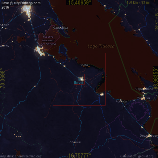
Ilave night lights from space
Night Light of Ilave (Puno) from space (Peru) Src. Average luminocity for 10x10km area is 11.3512% and for 50x50km: 0.8413%.
Analysis of Ilave night lights 2016
Square area 10x10 km:
 0.83%
0.83%90-99
1.45%80-89
4.34%70-79
1.65%60-69
1.65%50-59
1.24%40-49
0.41%30-39
0%20-29
1.24%10-19
0.41%0-9
86.78%Square area 50x50 km:
0.03%90-99
0.06%80-89
0.32%70-79
0.17%60-69
0.08%50-59
0.12%40-49
0.08%30-39
0.06%20-29
0.06%10-19
0.08%0-9
98.94%Clear (daylight) street map image can be seen on geolist.org.
Map coordinates:
15° 24' 23.7" South, 70° 22' 11.3" West
16° 4' 60" South, 69° 40' 0" West
16° 45' 28" South, 68° 57' 48.8" West
Some cities around Ilave sort by population:
• Juliaca
81.9 km =50.9 mi,  322°
322°
• Puno
46.3 km =28.8 mi,  305°
305°
• Yunguyo
65 km =40.4 mi,  106°
106°
• Atuncolla
68.2 km =42.4 mi, 310°
• Putina
72 km =44.7 mi,  20°
20°
• Juli
27.5 km =17.1 mi,  122°
122°
• Desaguadero
85.6 km =53.2 mi,  128°
128°
• San Pedro, BO
88.8 km =55.2 mi,  101°
101°
3938451 (p: 16,033)
Sources (retrieved 2019-11-25):
» Earth at Night: Flat Maps 2012, 2016