Juliaca night lights from space
Night Light of Juliaca (Puno) from space (Peru) Src. Average luminocity for 10x10km area is 66.2251% and for 50x50km: 4.2481%.
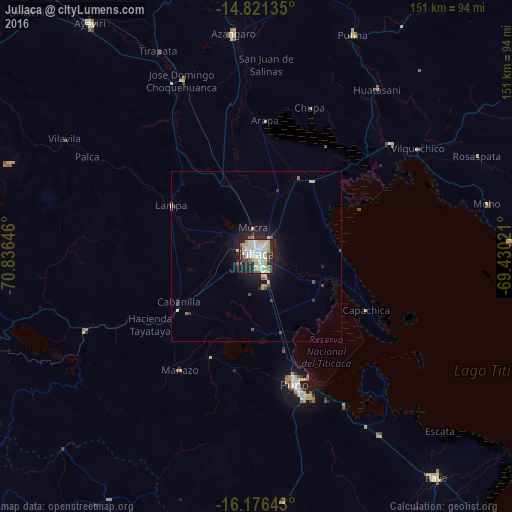
Analysis of Juliaca night lights 2016
Square area 10x10 km:
 18.83%
90-99
19.91%80-89
14.72%70-79
3.68%60-69
2.16%50-59
3.68%40-49
4.33%30-39
5.19%20-29
19.26%10-19
8.23%0-9
0%Square area 50x50 km:
0.77%90-99
0.78%80-89
0.88%70-79
0.23%60-69
0.3%50-59
0.33%40-49
0.32%30-39
0.43%20-29
1.48%10-19
3.37%0-9
91.13%Clear (daylight) street map image can be seen on geolist.org.
Map coordinates:
14° 49' 16.9" South, 70° 50' 11.3" West
15° 30' 0" South, 70° 7' 60" West
16° 10' 35.1" South, 69° 25' 48.8" West
Some cities around Juliaca sort by population:
• Puno
39.9 km =24.8 mi,  162°
162°
• Ayaviri
83.9 km =52.1 mi,  324°
324°
• Ilave
81.9 km =50.9 mi,  142°
142°
• Azángaro
66.1 km =41.1 mi,  354°
354°
• Atuncolla
20.5 km =12.7 mi,  185°
185°
• Putina
75.1 km =46.7 mi,  87°
87°
• Hacienda Huancane
88.2 km =54.8 mi,  245°
245°
• Juli
108.1 km =67.2 mi, 137°
3937513 (p: 245,675)
Sources (retrieved 2019-11-25):
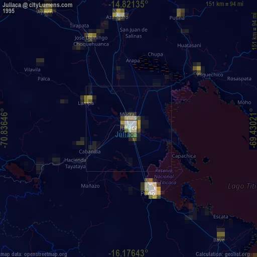
» NASA, Earths city lights 1995
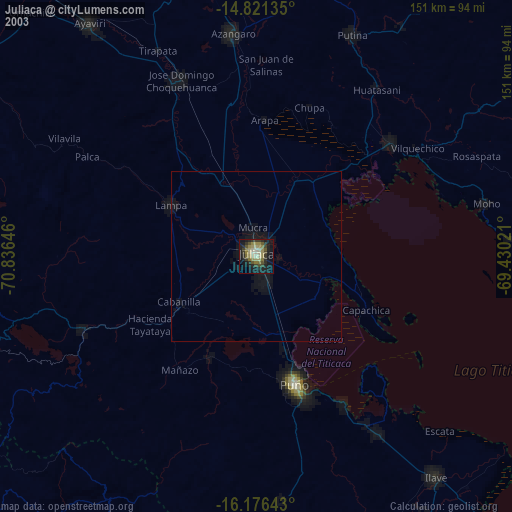
» NASA city lights 2003
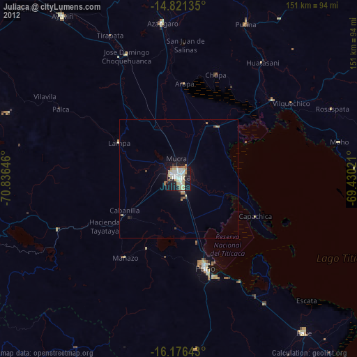
» Earth at Night: Flat Maps 2012, 2016