Yunguyo night lights from space
Night Light of Yunguyo (Puno) from space (Peru) Src. Average luminocity for 10x10km area is 9.6983% and for 50x50km: 0.9392%.
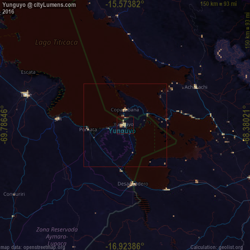
Analysis of Yunguyo night lights 2016
Square area 10x10 km:
 0%
0%90-99
0%80-89
0.83%70-79
3.93%60-69
3.51%50-59
1.65%40-49
0.83%30-39
0%20-29
1.65%10-19
0.83%0-9
86.78%Square area 50x50 km:
0%90-99
0%80-89
0.09%70-79
0.22%60-69
0.27%50-59
0.22%40-49
0.23%30-39
0.12%20-29
0.26%10-19
0.1%0-9
98.48%Clear (daylight) street map image can be seen on geolist.org.
Map coordinates:
15° 34' 25.8" South, 69° 47' 11.3" West
16° 15' 0" South, 69° 4' 60" West
16° 55' 25.9" South, 68° 22' 48.8" West
Some cities around Yunguyo sort by population:
• La Paz, BO
103.4 km =64.2 mi,  105°
105°
• Puno
109.9 km =68.3 mi,  294°
294°
• Ilave
65 km =40.4 mi, 286°
• Achacachi, BO
48.2 km =30 mi,  62°
62°
• Putina
93.8 km =58.3 mi,  336°
336°
• Juli
39.3 km =24.4 mi,  275°
275°
• Desaguadero
35.4 km =22 mi,  172°
172°
• San Pedro, BO
24.9 km =15.5 mi,  86°
86°
3925476 (p: 16,140)
Sources (retrieved 2019-11-25):
» Earth at Night: Flat Maps 2012, 2016