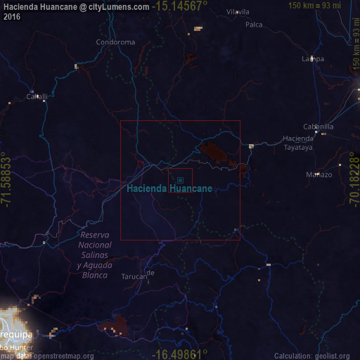
Hacienda Huancane night lights from space
Night Light of Hacienda Huancane (Puno) from space (Peru) Src. Average luminocity for 10x10km area is 0% and for 50x50km: 0.0161%.
Analysis of Hacienda Huancane night lights 2016
Square area 10x10 km:
 0%
0%90-99
0%80-89
0%70-79
0%60-69
0%50-59
0%40-49
0%30-39
0%20-29
0%10-19
0%0-9
100%Square area 50x50 km:
0%90-99
0%80-89
0%70-79
0%60-69
0%50-59
0%40-49
0%30-39
0.03%20-29
0%10-19
0.02%0-9
99.95%Clear (daylight) street map image can be seen on geolist.org.
Map coordinates:
15° 8' 44.4" South, 71° 35' 18.7" West
15° 49' 23.8" South, 70° 53' 7.4" West
16° 29' 55" South, 70° 10' 56.2" West
Some cities around Hacienda Huancane sort by population:
• Arequipa
94.4 km =58.7 mi,  227°
227°
• Juliaca
88.2 km =54.8 mi,  65°
65°
• Puno
92.6 km =57.5 mi,  91°
91°
• Ayaviri
108.9 km =67.7 mi,  16°
16°
• Azángaro
125.7 km =78.1 mi,  35°
35°
• Atuncolla
80.2 km =49.8 mi,  78°
78°
• Lluta
122.6 km =76.2 mi,  259°
259°
• Yura
97.4 km =60.5 mi,  240°
240°
3939531 (p: 7,831)
Sources (retrieved 2019-11-25):
» Earth at Night: Flat Maps 2012, 2016