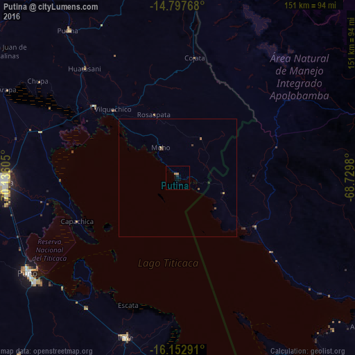
Putina night lights from space
Night Light of Putina (Puno) from space (Peru) Src. Average luminocity for 10x10km area is 1.6645% and for 50x50km: 0.2566%.
Analysis of Putina night lights 2016
Square area 10x10 km:
 0%
0%90-99
0%80-89
0%70-79
1.52%60-69
0.22%50-59
0%40-49
0%30-39
0%20-29
0.87%10-19
0%0-9
97.4%Square area 50x50 km:
0%90-99
0%80-89
0.04%70-79
0.08%60-69
0.04%50-59
0.07%40-49
0.07%30-39
0.06%20-29
0.08%10-19
0.03%0-9
99.53%Clear (daylight) street map image can be seen on geolist.org.
Map coordinates:
14° 47' 51.6" South, 70° 8' 9.8" West
15° 28' 35" South, 69° 25' 58.5" West
16° 9' 10.5" South, 68° 43' 47.3" West
Some cities around Putina sort by population:
• Juliaca
75.1 km =46.7 mi,  267°
267°
• Puno
74.9 km =46.5 mi,  237°
237°
• La Rinconada
94 km =58.4 mi,  359°
359°
• Yunguyo
93.8 km =58.3 mi,  156°
156°
• Ilave
72 km =44.7 mi,  200°
200°
• Atuncolla
80.2 km =49.8 mi,  253°
253°
• Achacachi, BO
102.5 km =63.7 mi,  128°
128°
• Juli
82.3 km =51.1 mi,  181°
181°
3931137 (p: 8,118)
Sources (retrieved 2019-11-25):
» Earth at Night: Flat Maps 2012, 2016