Puerto Maldonado night lights from space
Night Light of Puerto Maldonado (Madre de Dios) from space (Peru) Src. Average luminocity for 10x10km area is 28.8745% and for 50x50km: 1.2925%.
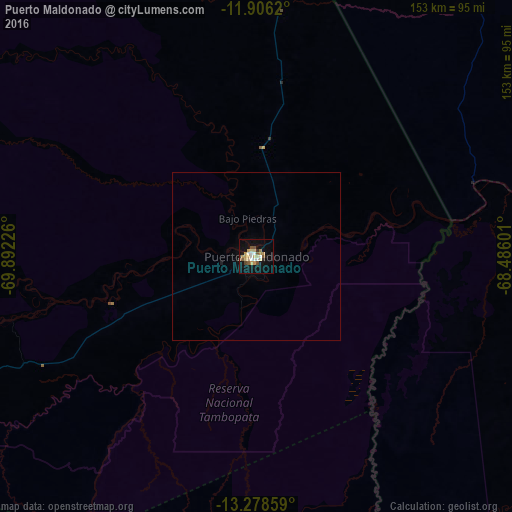

Analysis of Puerto Maldonado night lights 2016
Square area 10x10 km:
 3.68%
3.68%90-99
3.25%80-89
7.36%70-79
5.84%60-69
1.52%50-59
5.19%40-49
2.16%30-39
1.3%20-29
0.87%10-19
27.06%0-9
41.77%Square area 50x50 km:
0.14%90-99
0.13%80-89
0.29%70-79
0.23%60-69
0.06%50-59
0.22%40-49
0.08%30-39
0.05%20-29
0.03%10-19
1.16%0-9
97.6%Clear (daylight) street map image can be seen on geolist.org.
Map coordinates:
11° 54' 22.3" South, 69° 53' 32.1" West
12° 35' 35.9" South, 69° 11' 20.9" West
13° 16' 42.9" South, 68° 29' 9.6" West
Some cities around Puerto Maldonado sort by population:
• Tambopata
20.1 km =12.5 mi,  244°
244°
• La Rinconada
228.3 km =141.9 mi,  186°
186°
• Cobija, BO
180.1 km =111.9 mi,  14°
14°
• Rurrenabaque, BO
272.9 km =169.6 mi,  138°
138°
• Brasiléia, BR
181.8 km =113 mi,  15°
15°
• Reyes, BO
275.6 km =171.2 mi,  133°
133°
• Macusani
213.5 km =132.7 mi,  219°
219°
• Xapuri, BR
228.4 km =141.9 mi, 19°
3931470 (p: 37,543)
Sources (retrieved 2019-11-25):
» Earth at Night: Flat Maps 2012, 2016