La Rinconada night lights from space
Night Light of La Rinconada (Puno) from space (Peru) Src. Average luminocity for 10x10km area is 6.3052% and for 50x50km: 0.3982%.
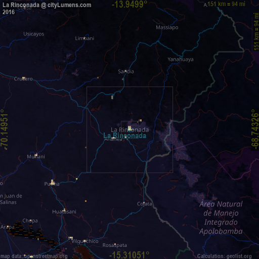
Analysis of La Rinconada night lights 2016
Square area 10x10 km:
 0%
0%90-99
0%80-89
1.95%70-79
1.73%60-69
1.52%50-59
1.08%40-49
1.08%30-39
0.43%20-29
0.87%10-19
0%0-9
91.34%Square area 50x50 km:
0%90-99
0%80-89
0.07%70-79
0.13%60-69
0.06%50-59
0.05%40-49
0.18%30-39
0.02%20-29
0.07%10-19
0.03%0-9
99.38%Clear (daylight) street map image can be seen on geolist.org.
Map coordinates:
13° 56' 59.6" South, 70° 8' 58.2" West
14° 37' 52.5" South, 69° 26' 47" West
15° 18' 37.8" South, 68° 44' 35.7" West
Some cities around La Rinconada sort by population:
• Juliaca
121.5 km =75.5 mi,  217°
217°
• Puno
148 km =92 mi,  204°
204°
• Ayaviri
126.1 km =78.4 mi,  256°
256°
• Ilave
163.2 km =101.4 mi,  188°
188°
• Azángaro
86.3 km =53.6 mi,  249°
249°
• Atuncolla
139.2 km =86.5 mi,  212°
212°
• Putina
94 km =58.4 mi,  179°
179°
• Macusani
122.5 km =76.1 mi,  299°
299°
7626291 (p: 29,678)
Sources (retrieved 2019-11-25):
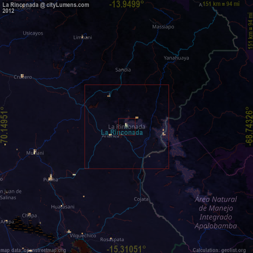
» Earth at Night: Flat Maps 2012, 2016