Reyes night lights from space
Night Light of Reyes (El Beni) from space (Bolivia) Src. Average luminocity for 10x10km area is 2.6645% and for 50x50km: 0.3292%.
Analysis of Reyes night lights 2016
Square area 10x10 km:
 0%
0%90-99
0%80-89
0.87%70-79
1.73%60-69
0%50-59
0%40-49
0%30-39
0.87%20-29
0%10-19
0%0-9
96.54%Square area 50x50 km:
0%90-99
0%80-89
0.05%70-79
0.22%60-69
0.03%50-59
0.01%40-49
0.1%30-39
0.03%20-29
0%10-19
0%0-9
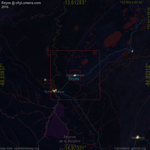
99.57%Clear (daylight) street map image can be seen on geolist.org.
Map coordinates:
13° 36' 46.2" South, 68° 2' 21.7" West
14° 17' 42.7" South, 67° 20' 10.5" West
14° 58' 31.8" South, 66° 37' 59.2" West
Some cities around Reyes sort by population:
• La Paz
260.2 km =161.7 mi,  199°
199°
• La Rinconada, PE
230.2 km =143 mi,  260°
260°
• San Borja
88.4 km =54.9 mi,  134°
134°
• San Borja
78.1 km =48.5 mi,  137°
137°
• Santa Ana de Yacuma
214.9 km =133.5 mi,  73°
73°
• Rurrenabaque
26.3 km =16.3 mi,  231°
231°
• Achacachi
242.8 km =150.9 mi,  216°
216°
• Putina, PE
260.8 km =162.1 mi,  239°
239°
3906478 (p: 7,376)
Sources (retrieved 2019-11-25):
» Earth at Night: Flat Maps 2012, 2016