Tambopata night lights from space
Night Light of Tambopata (Madre de Dios) from space (Peru) Src. Average luminocity for 10x10km area is 0% and for 50x50km: 1.3021%.
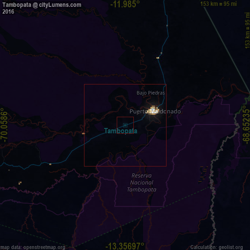
Analysis of Tambopata night lights 2016
Square area 10x10 km:
 0%
0%90-99
0%80-89
0%70-79
0%60-69
0%50-59
0%40-49
0%30-39
0%20-29
0%10-19
0%0-9
100%Square area 50x50 km:
0.14%90-99
0.13%80-89
0.29%70-79
0.23%60-69
0.08%50-59
0.22%40-49
0.08%30-39
0.05%20-29
0.03%10-19
1.16%0-9
97.58%Clear (daylight) street map image can be seen on geolist.org.
Map coordinates:
11° 59' 6" South, 70° 3' 31" West
12° 40' 18.9" South, 69° 21' 19.7" West
13° 21' 25.1" South, 68° 39' 8.5" West
Some cities around Tambopata sort by population:
• Puerto Maldonado
20.1 km =12.5 mi,  64°
64°
• Sicuani
269.2 km =167.3 mi,  228°
228°
• La Rinconada
218.1 km =135.5 mi,  182°
182°
• Cobija, BO
193.7 km =120.4 mi,  19°
19°
• Azángaro
264.7 km =164.5 mi,  200°
200°
• Brasiléia, BR
195.6 km =121.5 mi, 19°
• Macusani
195.5 km =121.5 mi,  216°
216°
• Xapuri, BR
243 km =151 mi, 22°
3927942 (p: 38,966)
Sources (retrieved 2019-11-25):
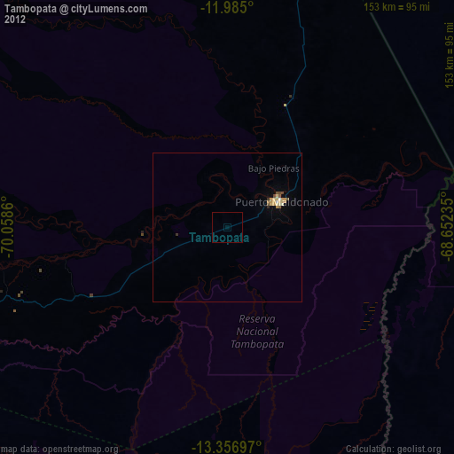
» Earth at Night: Flat Maps 2012, 2016