Rurrenabaque night lights from space
Night Light of Rurrenabaque (El Beni) from space (Bolivia) Src. Average luminocity for 10x10km area is 5.8506% and for 50x50km: 0.3992%.
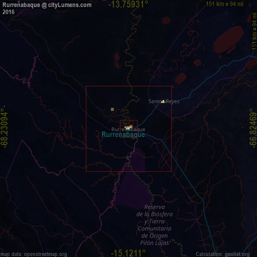
Analysis of Rurrenabaque night lights 2016
Square area 10x10 km:
 0%
0%90-99
0%80-89
0.43%70-79
3.9%60-69
0.65%50-59
0.22%40-49
2.6%30-39
0%20-29
0%10-19
0%0-9
92.21%Square area 50x50 km:
0%90-99
0%80-89
0.05%70-79
0.22%60-69
0.03%50-59
0.1%40-49
0.13%30-39
0.04%20-29
0%10-19
0%0-9
99.43%Clear (daylight) street map image can be seen on geolist.org.
Map coordinates:
13° 45' 33.5" South, 68° 13' 51.4" West
14° 26' 28.5" South, 67° 31' 40.1" West
15° 7' 16" South, 66° 49' 28.9" West
Some cities around Rurrenabaque sort by population:
• La Paz
238.4 km =148.1 mi,  196°
196°
• La Rinconada, PE
207.6 km =129 mi,  264°
264°
• San Borja
95.4 km =59.3 mi,  118°
118°
• San Borja
84 km =52.2 mi, 119°
• Santa Ana de Yacuma
239.5 km =148.8 mi,  71°
71°
• Achacachi
217.6 km =135.2 mi,  214°
214°
• Putina, PE
234.8 km =145.9 mi,  240°
240°
• Reyes
26.3 km =16.3 mi,  51°
51°
3906209 (p: 11,749)
Sources (retrieved 2019-11-25):
» Earth at Night: Flat Maps 2012, 2016