Xapuri night lights from space
Night Light of Xapuri (Acre) from space (Brazil) Src. Average luminocity for 10x10km area is 6.8636% and for 50x50km: 0.2855%.
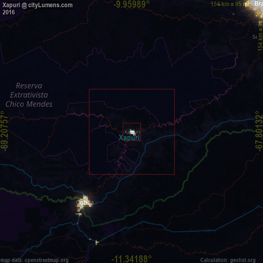
Analysis of Xapuri night lights 2016
Square area 10x10 km:
 0%
0%90-99
3.51%80-89
0.62%70-79
0.62%60-69
0.21%50-59
0%40-49
1.86%30-39
0.62%20-29
0.83%10-19
0%0-9
91.74%Square area 50x50 km:
0%90-99
0.14%80-89
0.03%70-79
0.03%60-69
0.01%50-59
0%40-49
0.08%30-39
0.03%20-29
0.03%10-19
0%0-9
99.66%Clear (daylight) street map image can be seen on geolist.org.
Map coordinates:
9° 57' 35.6" South, 69° 12' 27.3" West
10° 39' 6" South, 68° 30' 16" West
11° 20' 30.8" South, 67° 48' 4.8" West
Some cities around Xapuri sort by population:
• Rio Branco
106.9 km =66.4 mi,  45°
45°
• Tambopata, PE
243 km =151 mi,  202°
202°
• Puerto Maldonado, PE
228.4 km =141.9 mi, 199°
• Cobija, BO
50.7 km =31.5 mi,  214°
214°
• Sena Madureira
177.6 km =110.4 mi,  354°
354°
• Plácido de Castro
148.4 km =92.2 mi,  76°
76°
• Senador Guiomard
100.8 km =62.6 mi,  56°
56°
• Brasiléia
48.5 km =30.1 mi, 213°
3924674 (p: 5,721)
Sources (retrieved 2019-11-25):
» Earth at Night: Flat Maps 2012, 2016