Cobija night lights from space
Night Light of Cobija (Pando) from space (Bolivia) Src. Average luminocity for 10x10km area is 42.8355% and for 50x50km: 2.2687%.
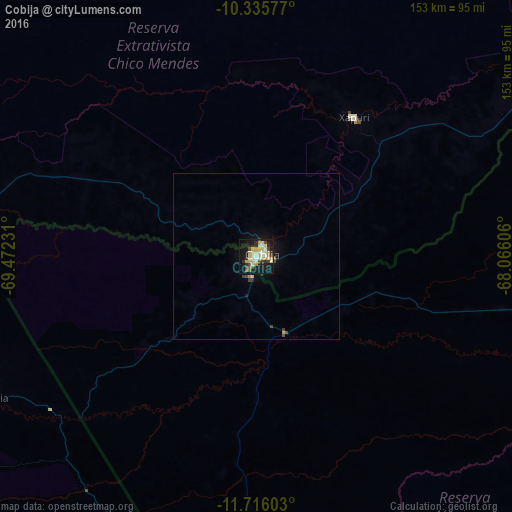
Analysis of Cobija night lights 2016
Square area 10x10 km:
 4.11%
4.11%90-99
11.26%80-89
8.01%70-79
9.31%60-69
1.3%50-59
2.6%40-49
3.68%30-39
9.52%20-29
5.19%10-19
38.53%0-9
6.49%Square area 50x50 km:
0.16%90-99
0.44%80-89
0.36%70-79
0.42%60-69
0.05%50-59
0.14%40-49
0.27%30-39
0.52%20-29
0.25%10-19
2.37%0-9
95.01%Clear (daylight) street map image can be seen on geolist.org.
Map coordinates:
10° 20' 8.8" South, 69° 28' 20.3" West
11° 1' 36.2" South, 68° 46' 9" West
11° 42' 57.7" South, 68° 3' 57.8" West
Some cities around Cobija sort by population:
• Rio Branco, BR
157.1 km =97.6 mi,  41°
41°
• Tambopata, PE
193.7 km =120.4 mi,  199°
199°
• Puerto Maldonado, PE
180.1 km =111.9 mi,  194°
194°
• Sena Madureira, BR
218.6 km =135.8 mi,  2°
2°
• Plácido de Castro, BR
189.3 km =117.6 mi,  66°
66°
• Senador Guiomard, BR
149.1 km =92.6 mi,  49°
49°
• Brasiléia, BR
2.6 km =1.6 mi,  62°
62°
• Xapuri, BR
50.7 km =31.5 mi,  34°
34°
3919998 (p: 26,585)
Sources (retrieved 2019-11-25):
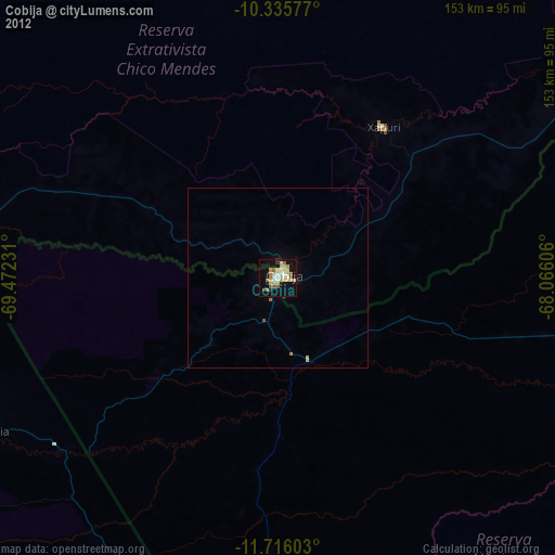
» Earth at Night: Flat Maps 2012, 2016