Brasiléia night lights from space
Night Light of Brasiléia (Acre) from space (Brazil) Src. Average luminocity for 10x10km area is 40.7143% and for 50x50km: 2.2522%.
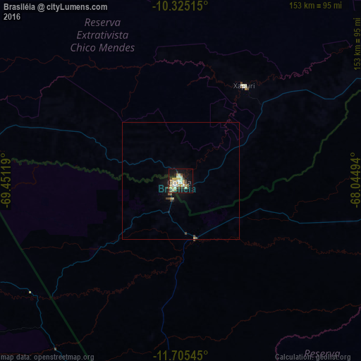
Analysis of Brasiléia night lights 2016
Square area 10x10 km:
 4.11%
4.11%90-99
11.26%80-89
7.79%70-79
9.09%60-69
1.08%50-59
1.3%40-49
3.25%30-39
8.87%20-29
4.76%10-19
30.95%0-9
17.53%Square area 50x50 km:
0.16%90-99
0.44%80-89
0.36%70-79
0.42%60-69
0.05%50-59
0.14%40-49
0.24%30-39
0.52%20-29
0.25%10-19
2.37%0-9
95.05%Clear (daylight) street map image can be seen on geolist.org.
Map coordinates:
10° 19' 30.5" South, 69° 27' 4.3" West
11° 0' 58" South, 68° 44' 53" West
11° 42' 19.6" South, 68° 2' 41.8" West
Some cities around Brasiléia sort by population:
• Rio Branco
154.7 km =96.1 mi,  41°
41°
• Tambopata, PE
195.6 km =121.5 mi,  199°
199°
• Puerto Maldonado, PE
181.8 km =113 mi, 195°
• Cobija, BO
2.6 km =1.6 mi,  242°
242°
• Sena Madureira
217.3 km =135 mi,  2°
2°
• Plácido de Castro
186.8 km =116.1 mi,  66°
66°
• Senador Guiomard
146.6 km =91.1 mi,  48°
48°
• Xapuri
48.5 km =30.1 mi,  33°
33°
3925227 (p: 11,200)
Sources (retrieved 2019-11-25):
» Earth at Night: Flat Maps 2012, 2016