Macusani night lights from space
Night Light of Macusani (Puno) from space (Peru) Src. Average luminocity for 10x10km area is 2.3853% and for 50x50km: 0.4348%.
Analysis of Macusani night lights 2016
Square area 10x10 km:
 0%
0%90-99
0%80-89
0.87%70-79
0.87%60-69
0%50-59
0.87%40-49
0%30-39
0.65%20-29
0.22%10-19
0%0-9
96.54%Square area 50x50 km:
0%90-99
0%80-89
0.13%70-79
0.06%60-69
0.12%50-59
0.13%40-49
0.07%30-39
0.09%20-29
0.06%10-19
0.03%0-9
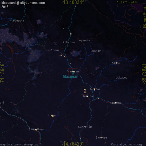
99.32%Clear (daylight) street map image can be seen on geolist.org.
Map coordinates:
13° 24' 1.2" South, 71° 8' 11.3" West
14° 4' 60" South, 70° 25' 60" West
14° 45' 51.4" South, 69° 43' 48.8" West
Some cities around Macusani sort by population:
• Cusco
177 km =110 mi,  290°
290°
• Juliaca
160.8 km =99.9 mi,  168°
168°
• Sicuani
87.9 km =54.6 mi,  256°
256°
• La Rinconada
122.5 km =76.1 mi,  119°
119°
• Ayaviri
90.8 km =56.4 mi,  190°
190°
• Azángaro
95.2 km =59.2 mi,  164°
164°
• Atuncolla
180.5 km =112.2 mi, 170°
• Urcos
135.8 km =84.4 mi, 288°
3935624 (p: 6,044)
Sources (retrieved 2019-11-25):
» Earth at Night: Flat Maps 2012, 2016