Pucallpa night lights from space
Night Light of Pucallpa (Ucayali) from space (Peru) Src. Average luminocity for 10x10km area is 66.531% and for 50x50km: 4.3183%.
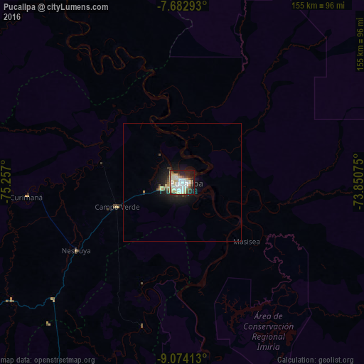
Analysis of Pucallpa night lights 2016
Square area 10x10 km:
 12.81%
90-99
26.03%80-89
17.77%70-79
2.48%60-69
1.65%50-59
5.17%40-49
2.07%30-39
3.93%20-29
15.08%10-19
12.19%0-9
0.83%Square area 50x50 km:
0.52%90-99
1.09%80-89
1.12%70-79
0.19%60-69
0.15%50-59
0.37%40-49
0.27%30-39
0.42%20-29
1.3%10-19
3.47%0-9
91.1%Clear (daylight) street map image can be seen on geolist.org.
Map coordinates:
7° 40' 58.5" South, 75° 15' 25.2" West
8° 22' 44.9" South, 74° 33' 13.9" West
9° 4' 26.9" South, 73° 51' 2.7" West
Some cities around Pucallpa sort by population:
• Huánuco
253.2 km =157.3 mi,  227°
227°
• Cruzeiro do Sul, BR
222.9 km =138.5 mi,  67°
67°
• Tingo María
188.3 km =117 mi,  237°
237°
• Tocache
217.4 km =135.1 mi,  275°
275°
• Uchiza
210.2 km =130.6 mi,  267°
267°
• Contamana
127 km =78.9 mi,  336°
336°
• Campoverde
29.8 km =18.5 mi,  248°
248°
• Mâncio Lima, BR
201.4 km =125.1 mi, 65°
3693345 (p: 310,750)
Sources (retrieved 2019-11-25):
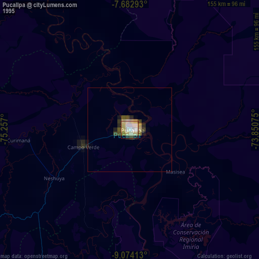
» NASA, Earths city lights 1995
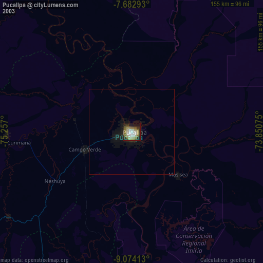
» NASA city lights 2003
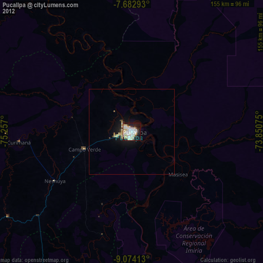
» Earth at Night: Flat Maps 2012, 2016