Uchiza night lights from space
Night Light of Uchiza (San Martín) from space (Peru) Src. Average luminocity for 10x10km area is 2.1054% and for 50x50km: 0.2112%.
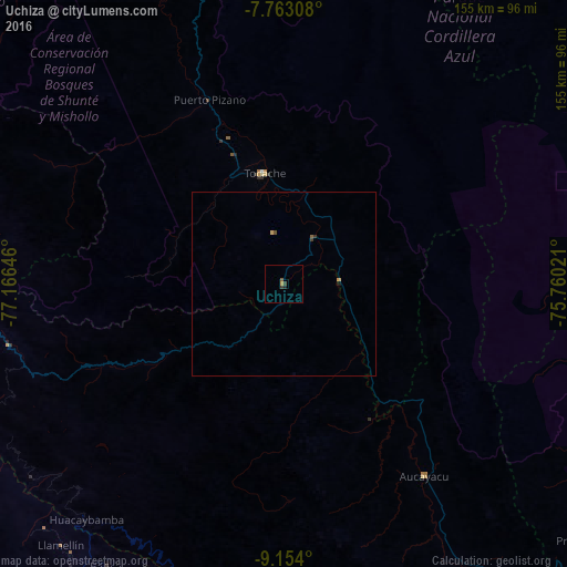
Analysis of Uchiza night lights 2016
Square area 10x10 km:
 0%
0%90-99
0%80-89
0%70-79
0.83%60-69
0%50-59
0.83%40-49
0%30-39
1.65%20-29
0.62%10-19
0.21%0-9
95.87%Square area 50x50 km:
0%90-99
0%80-89
0.02%70-79
0.08%60-69
0%50-59
0.07%40-49
0.03%30-39
0.13%20-29
0.03%10-19
0.04%0-9
99.6%Clear (daylight) street map image can be seen on geolist.org.
Map coordinates:
7° 45' 47.1" South, 77° 9' 59.3" West
8° 27' 33" South, 76° 27' 48" West
9° 9' 14.4" South, 75° 45' 36.8" West
Some cities around Uchiza sort by population:
• Tingo María
106.2 km =66 mi,  151°
151°
• Juanjuí
145.5 km =90.4 mi,  348°
348°
• Tocache
30.8 km =19.1 mi, 348°
• Bellavista
156.6 km =97.3 mi, 354°
• Yauya
108.9 km =67.7 mi,  237°
237°
• Huicungo
131.4 km =81.6 mi,  344°
344°
• Yungay
159.7 km =99.2 mi, 241°
• Carhuaz
158.8 km =98.7 mi,  234°
234°
3691094 (p: 17,742)
Sources (retrieved 2019-11-25):
» Earth at Night: Flat Maps 2012, 2016