Tocache night lights from space
Night Light of Tocache (San Martín) from space (Peru) Src. Average luminocity for 10x10km area is 5.657% and for 50x50km: 0.4027%.

Analysis of Tocache night lights 2016
Square area 10x10 km:
 0%
0%90-99
1.03%80-89
1.24%70-79
1.86%60-69
0.83%50-59
0%40-49
0%30-39
0.83%20-29
2.48%10-19
0%0-9
91.74%Square area 50x50 km:
0%90-99
0.04%80-89
0.07%70-79
0.09%60-69
0.03%50-59
0.1%40-49
0.03%30-39
0.16%20-29
0.14%10-19
0%0-9
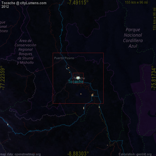
99.33%Clear (daylight) street map image can be seen on geolist.org.
Map coordinates:
7° 29' 28.1" South, 77° 13' 24.9" West
8° 11' 15.7" South, 76° 31' 13.7" West
8° 52' 58.9" South, 75° 49' 2.4" West
Some cities around Tocache sort by population:
• Tingo María
136 km =84.5 mi,  154°
154°
• Juanjuí
114.7 km =71.3 mi,  348°
348°
• Uchiza
30.8 km =19.1 mi,  168°
168°
• Bellavista
126.1 km =78.4 mi,  356°
356°
• Saposoa
142.1 km =88.3 mi, 348°
• Yauya
123.2 km =76.6 mi,  224°
224°
• Huicungo
100.6 km =62.5 mi,  343°
343°
• Picota
142.5 km =88.5 mi,  8°
8°
3691324 (p: 29,029)
Sources (retrieved 2019-11-25):
» Earth at Night: Flat Maps 2012, 2016