Tingo María night lights from space
Night Light of Tingo María (Huanuco) from space (Peru) Src. Average luminocity for 10x10km area is 11.9524% and for 50x50km: 0.5052%.
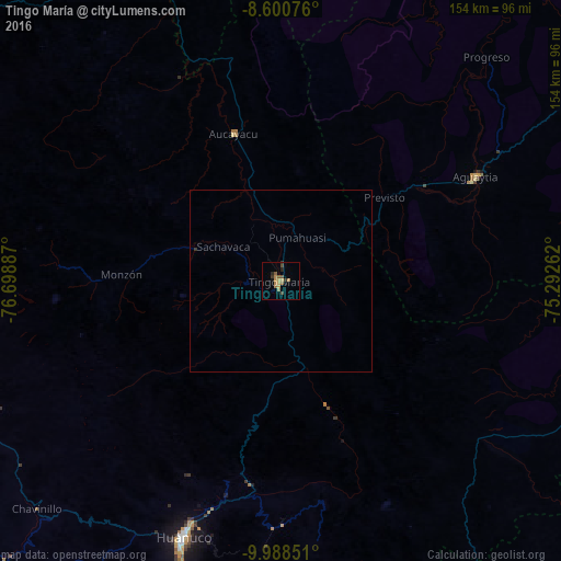
Analysis of Tingo María night lights 2016
Square area 10x10 km:
 0%
0%90-99
0%80-89
1.73%70-79
3.03%60-69
3.9%50-59
2.81%40-49
2.16%30-39
2.38%20-29
1.73%10-19
0.87%0-9
81.39%Square area 50x50 km:
0%90-99
0%80-89
0.07%70-79
0.12%60-69
0.15%50-59
0.11%40-49
0.08%30-39
0.14%20-29
0.07%10-19
0.03%0-9
99.22%Clear (daylight) street map image can be seen on geolist.org.
Map coordinates:
8° 36' 2.7" South, 76° 41' 55.9" West
9° 17' 43.2" South, 75° 59' 44.7" West
9° 59' 18.6" South, 75° 17' 33.4" West
Some cities around Tingo María sort by population:
• Huánuco
75.6 km =47 mi,  200°
200°
• Tocache
136 km =84.5 mi,  334°
334°
• Chaupimarca
133.7 km =83.1 mi, 202°
• Yanacancha
127 km =78.9 mi,  214°
214°
• Uchiza
106.2 km =66 mi, 331°
• Ambo
95.7 km =59.5 mi,  193°
193°
• Yanahuanca
146.5 km =91 mi, 202°
• San Miguel de Cauri
116.2 km =72.2 mi,  216°
216°
3691348 (p: 53,177)
Sources (retrieved 2019-11-25):
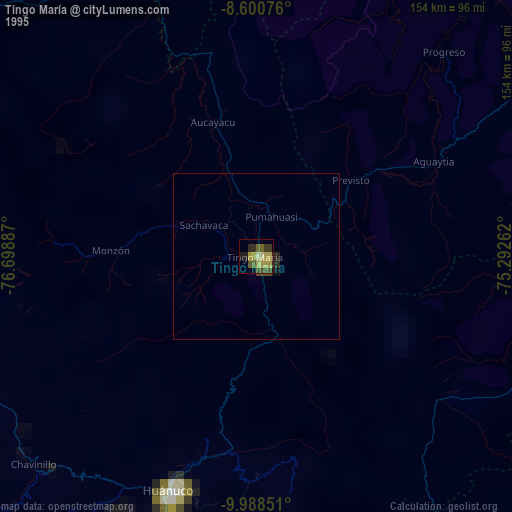
» NASA, Earths city lights 1995
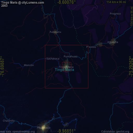
» NASA city lights 2003
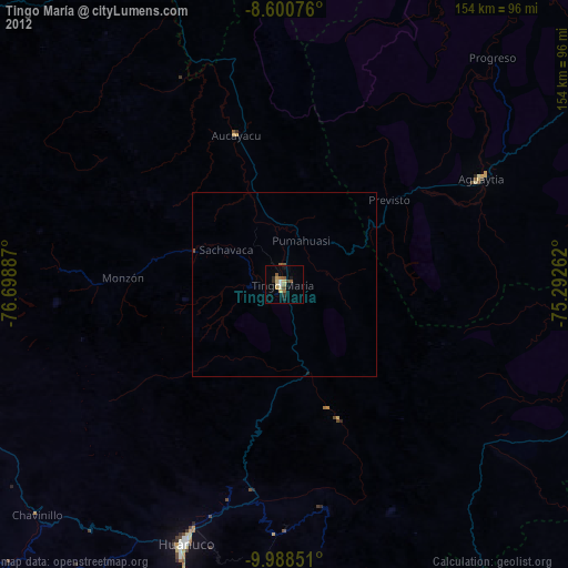
» Earth at Night: Flat Maps 2012, 2016