Huánuco night lights from space
Night Light of Huánuco (Huanuco) from space (Peru) Src. Average luminocity for 10x10km area is 34.8719% and for 50x50km: 2.3253%.
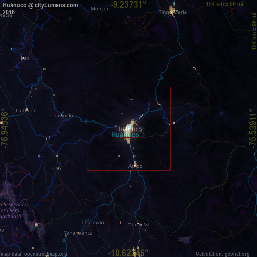

Analysis of Huánuco night lights 2016
Square area 10x10 km:
 4.34%
4.34%90-99
6.61%80-89
0.83%70-79
10.95%60-69
3.51%50-59
3.51%40-49
2.69%30-39
5.79%20-29
5.17%10-19
41.12%0-9
15.5%Square area 50x50 km:
0.18%90-99
0.27%80-89
0.03%70-79
0.51%60-69
0.49%50-59
0.25%40-49
0.24%30-39
0.48%20-29
0.51%10-19
2.1%0-9
94.94%Clear (daylight) street map image can be seen on geolist.org.
Map coordinates:
9° 14' 14.3" South, 76° 56' 43.3" West
9° 55' 50.2" South, 76° 14' 32" West
10° 37' 20.9" South, 75° 32' 20.8" West
Some cities around Huánuco sort by population:
• Cerro de Pasco
81.9 km =50.9 mi,  181°
181°
• Tingo María
75.6 km =47 mi,  20°
20°
• Chaupimarca
58.2 km =36.2 mi,  204°
204°
• Yanacancha
56 km =34.8 mi,  231°
231°
• Ambo
22.6 km =14 mi,  169°
169°
• Yanahuanca
70.9 km =44.1 mi, 203°
• San Miguel de Cauri
47.6 km =29.6 mi,  241°
241°
• Tinyahuarco
93.1 km =57.8 mi, 182°
3696417 (p: 147,959)
Sources (retrieved 2019-11-25):
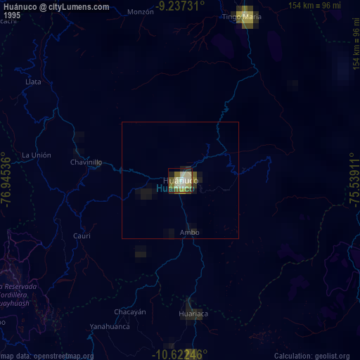
» NASA, Earths city lights 1995
» NASA city lights 2003
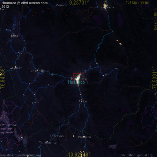
» Earth at Night: Flat Maps 2012, 2016