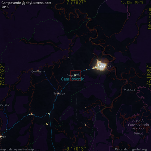
Campoverde night lights from space
Night Light of Campoverde (Ucayali) from space (Peru) Src. Average luminocity for 10x10km area is 3.4979% and for 50x50km: 2.2706%.
Analysis of Campoverde night lights 2016
Square area 10x10 km:
 0%
0%90-99
0%80-89
0.83%70-79
0.83%60-69
0%50-59
0%40-49
2.48%30-39
1.03%20-29
0.62%10-19
1.45%0-9
92.77%Square area 50x50 km:
0.07%90-99
0.42%80-89
0.79%70-79
0.19%60-69
0.08%50-59
0.19%40-49
0.29%30-39
0.37%20-29
0.66%10-19
1.71%0-9
95.24%Clear (daylight) street map image can be seen on geolist.org.
Map coordinates:
7° 46' 45.4" South, 75° 30' 36.8" West
8° 28' 31.2" South, 74° 48' 25.5" West
9° 10' 12.5" South, 74° 6' 14.3" West
Some cities around Campoverde sort by population:
• Pucallpa
29.8 km =18.5 mi,  68°
68°
• Huánuco
225.8 km =140.3 mi,  224°
224°
• Tingo María
159.3 km =99 mi,  235°
235°
• Tocache
191.2 km =118.8 mi,  279°
279°
• Uchiza
182.2 km =113.2 mi,  270°
270°
• Contamana
129.1 km =80.2 mi,  349°
349°
• Mâncio Lima, BR
231.2 km =143.7 mi, 65°
• Ambo
239.6 km =148.9 mi, 219°
3733380 (p: 8,945)
Sources (retrieved 2019-11-25):
» Earth at Night: Flat Maps 2012, 2016