Contamana night lights from space
Night Light of Contamana (Loreto) from space (Peru) Src. Average luminocity for 10x10km area is 4.3853% and for 50x50km: 0.1881%.
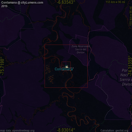
Analysis of Contamana night lights 2016
Square area 10x10 km:
 0%
0%90-99
1.73%80-89
0%70-79
0%60-69
0.87%50-59
1.73%40-49
0%30-39
1.3%20-29
1.3%10-19
0%0-9
93.07%Square area 50x50 km:
0%90-99
0.07%80-89
0%70-79
0%60-69
0.03%50-59
0.07%40-49
0%30-39
0.08%20-29
0.05%10-19
0%0-9
99.69%Clear (daylight) street map image can be seen on geolist.org.
Map coordinates:
6° 38' 7.5" South, 75° 43' 11.3" West
7° 19' 60" South, 75° 1' 0" West
8° 1' 48.5" South, 74° 18' 48.8" West
Some cities around Contamana sort by population:
• Pucallpa
127 km =78.9 mi,  156°
156°
• Juanjuí
189.5 km =117.7 mi,  275°
275°
• Tocache
191 km =118.7 mi,  240°
240°
• Bellavista
176.4 km =109.6 mi, 280°
• Campoverde
129.1 km =80.2 mi,  169°
169°
• Chazuta
150 km =93.2 mi,  304°
304°
• Huicungo
194 km =120.5 mi,  270°
270°
• Picota
152.2 km =94.6 mi,  287°
287°
3697838 (p: 13,885)
Sources (retrieved 2019-11-25):
» Earth at Night: Flat Maps 2012, 2016