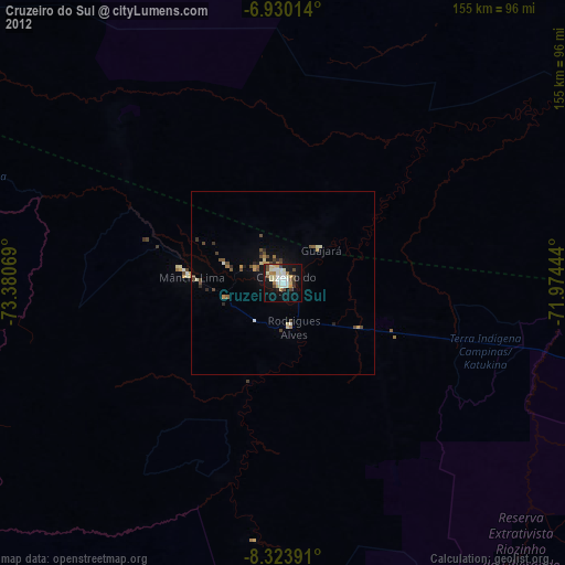
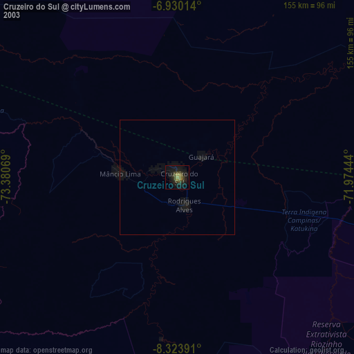
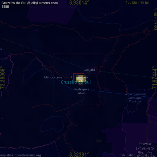
Cruzeiro do Sul night lights from space
Night Light of Cruzeiro do Sul (Acre) from space (Brazil) Src. Average luminocity for 10x10km area is 45.1212% and for 50x50km: 3.2086%.
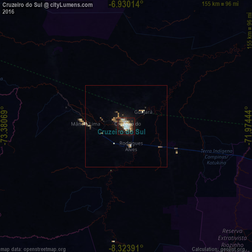
Analysis of Cruzeiro do Sul night lights 2016
Square area 10x10 km:
 6.28%
6.28%90-99
14.5%80-89
8.66%70-79
1.3%60-69
2.6%50-59
5.84%40-49
6.49%30-39
4.55%20-29
8.87%10-19
35.06%0-9
5.84%Square area 50x50 km:
0.27%90-99
0.68%80-89
0.45%70-79
0.25%60-69
0.27%50-59
0.51%40-49
0.52%30-39
0.38%20-29
0.55%10-19
2.75%0-9
93.38%Clear (daylight) street map image can be seen on geolist.org.
Map coordinates:
6° 55' 48.5" South, 73° 22' 50.5" West
7° 37' 39.3" South, 72° 40' 39.2" West
8° 19' 26.1" South, 71° 58' 28" West
Some cities around Cruzeiro do Sul sort by population:
• Pucallpa, PE
222.9 km =138.5 mi,  247°
247°
• Eirunepé
327.5 km =203.5 mi,  70°
70°
• Tarauacá
218.8 km =136 mi,  105°
105°
• Contamana, PE
259.9 km =161.5 mi,  277°
277°
• Feijó
262.7 km =163.2 mi,  103°
103°
• Envira
273.7 km =170.1 mi,  82°
82°
• Campoverde, PE
252.7 km =157 mi, 248°
• Mâncio Lima
24.1 km =15 mi,  273°
273°
3664464 (p: 79,819)
Sources (retrieved 2019-11-25):
» NASA, Earths city lights 1995
» NASA city lights 2003
» Earth at Night: Flat Maps 2012, 2016