Mórrope night lights from space
Night Light of Mórrope (Lambayeque) from space (Peru) Src. Average luminocity for 10x10km area is 3.9827% and for 50x50km: 4.625%.
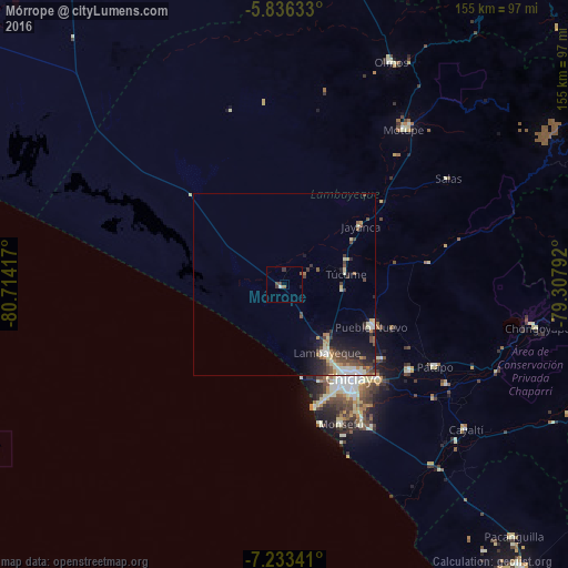
Analysis of Mórrope night lights 2016
Square area 10x10 km:
 0.43%
0.43%90-99
0.43%80-89
0%70-79
0%60-69
0.43%50-59
1.3%40-49
1.95%30-39
1.52%20-29
0%10-19
0.87%0-9
93.07%Square area 50x50 km:
0.44%90-99
0.86%80-89
0.56%70-79
0.41%60-69
0.45%50-59
0.72%40-49
1.03%30-39
1%20-29
1.33%10-19
2.65%0-9
90.55%Clear (daylight) street map image can be seen on geolist.org.
Map coordinates:
5° 50' 10.8" South, 80° 42' 51" West
6° 32' 7.3" South, 80° 0' 39.7" West
7° 14' 0.3" South, 79° 18' 28.5" West
Some cities around Mórrope sort by population:
• Chiclayo
32.3 km =20.1 mi,  144°
144°
• Lambayeque
21.8 km =13.5 mi,  147°
147°
• Ferreñafe
27.1 km =16.8 mi,  115°
115°
• Santa Rosa
32 km =19.9 mi, 140°
• Mochumí
16.5 km =10.3 mi,  93°
93°
• San José
30.3 km =18.8 mi, 138°
• Túcume
17.3 km =10.7 mi,  79°
79°
• Jayanca
26.4 km =16.4 mi,  52°
52°
3694586 (p: 6,662)
Sources (retrieved 2019-11-25):
» Earth at Night: Flat Maps 2012, 2016