Jayanca night lights from space
Night Light of Jayanca (Lambayeque) from space (Peru) Src. Average luminocity for 10x10km area is 5.4351% and for 50x50km: 1.3212%.
Analysis of Jayanca night lights 2016
Square area 10x10 km:
 0%
0%90-99
0.43%80-89
1.3%70-79
0.87%60-69
0.22%50-59
2.38%40-49
1.95%30-39
0.22%20-29
0%10-19
0%0-9
92.64%Square area 50x50 km:
0.02%90-99
0.16%80-89
0.27%70-79
0.08%60-69
0.13%50-59
0.25%40-49
0.42%30-39
0.32%20-29
0.16%10-19
0.18%0-9
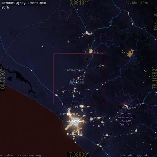
98.03%Clear (daylight) street map image can be seen on geolist.org.
Map coordinates:
5° 41' 29.8" South, 80° 31' 30.3" West
6° 23' 27" South, 79° 49' 19" West
7° 5' 20.7" South, 79° 7' 7.8" West
Some cities around Jayanca sort by population:
• Lambayeque
35.7 km =22.2 mi,  195°
195°
• Picsi
36.8 km =22.9 mi,  170°
170°
• Ferreñafe
27.8 km =17.3 mi, 172°
• Motupe
29.1 km =18.1 mi,  24°
24°
• Mochumí
17.6 km =10.9 mi,  194°
194°
• San José
38.6 km =24 mi,  180°
180°
• Túcume
13.4 km =8.3 mi, 196°
• Mórrope
26.4 km =16.4 mi,  232°
232°
3696104 (p: 6,126)
Sources (retrieved 2019-11-25):
» Earth at Night: Flat Maps 2012, 2016