Lluta night lights from space
Night Light of Lluta (Arequipa) from space (Peru) Src. Average luminocity for 10x10km area is 0.4463% and for 50x50km: 0.1799%.
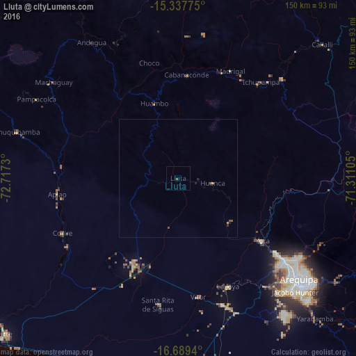
Analysis of Lluta night lights 2016
Square area 10x10 km:
 0%
0%90-99
0%80-89
0%70-79
0%60-69
0%50-59
0.83%40-49
0%30-39
0%20-29
0%10-19
0%0-9
99.17%Square area 50x50 km:
0%90-99
0%80-89
0.03%70-79
0%60-69
0.03%50-59
0.08%40-49
0.08%30-39
0.03%20-29
0.07%10-19
0.02%0-9
99.64%Clear (daylight) street map image can be seen on geolist.org.
Map coordinates:
15° 20' 15.9" South, 72° 43' 2.3" West
16° 0' 53" South, 72° 0' 51" West
16° 41' 21.8" South, 71° 18' 39.8" West
Some cities around Lluta sort by population:
• Arequipa
66.6 km =41.4 mi,  129°
129°
• Mollendo
112.1 km =69.7 mi,  180°
180°
• Camaná
100.5 km =62.4 mi,  227°
227°
• Cocachacra
122.5 km =76.1 mi,  167°
167°
• Hacienda Huancane
122.6 km =76.2 mi,  79°
79°
• Punta de Bombón
130.8 km =81.3 mi, 169°
• Yura
44.4 km =27.6 mi, 126°
• Orcopampa
90.3 km =56.1 mi,  337°
337°
3936088 (p: 5,998)
Sources (retrieved 2019-11-25):
» Earth at Night: Flat Maps 2012, 2016