Punta de Bombón night lights from space
Night Light of Punta de Bombón (Arequipa) from space (Peru) Src. Average luminocity for 10x10km area is 2.25% and for 50x50km: 0.8333%.
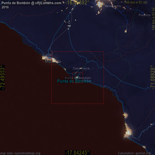
Analysis of Punta de Bombón night lights 2016
Square area 10x10 km:
 0%
0%90-99
0%80-89
0%70-79
0%60-69
1.65%50-59
0%40-49
0.21%30-39
0.41%20-29
2.89%10-19
0.21%0-9
94.63%Square area 50x50 km:
0%90-99
0%80-89
0.14%70-79
0.15%60-69
0.2%50-59
0.19%40-49
0.11%30-39
0.19%20-29
0.29%10-19
0.26%0-9
98.47%Clear (daylight) street map image can be seen on geolist.org.
Map coordinates:
16° 29' 56.1" South, 72° 29' 43.9" West
17° 10' 18.8" South, 71° 47' 32.6" West
17° 50' 32.8" South, 71° 5' 21.4" West
Some cities around Punta de Bombón sort by population:
• Arequipa
90.2 km =56 mi,  17°
17°
• Moquegua
91.1 km =56.6 mi,  91°
91°
• Ilo
70.1 km =43.6 mi,  136°
136°
• Mollendo
28.8 km =17.9 mi,  305°
305°
• Cocachacra
10 km =6.2 mi, 21°
• Pacocha
71 km =44.1 mi, 137°
• Torata
101.4 km =63 mi,  84°
84°
• Yura
103 km =64 mi,  6°
6°
3931255 (p: 6,336)
Sources (retrieved 2019-11-25):
» Earth at Night: Flat Maps 2012, 2016