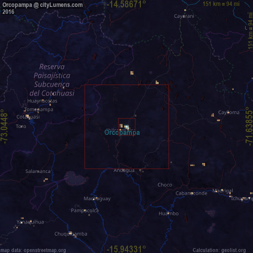
Orcopampa night lights from space
Night Light of Orcopampa (Arequipa) from space (Peru) Src. Average luminocity for 10x10km area is 7.3967% and for 50x50km: 0.3207%.
Analysis of Orcopampa night lights 2016
Square area 10x10 km:
 0.83%
0.83%90-99
0.83%80-89
0.83%70-79
0.83%60-69
2.27%50-59
1.45%40-49
1.24%30-39
0.83%20-29
0.83%10-19
0%0-9
90.08%Square area 50x50 km:
0.03%90-99
0.03%80-89
0.03%70-79
0.03%60-69
0.09%50-59
0.06%40-49
0.05%30-39
0.03%20-29
0.07%10-19
0%0-9
99.57%Clear (daylight) street map image can be seen on geolist.org.
Map coordinates:
14° 35' 12.2" South, 73° 2' 41.3" West
15° 15' 58" South, 72° 20' 30" West
15° 56' 35.9" South, 71° 38' 18.8" West
Some cities around Orcopampa sort by population:
• Arequipa
152.7 km =94.9 mi,  145°
145°
• Sicuani
163.3 km =101.5 mi,  47°
47°
• Camaná
156 km =96.9 mi,  194°
194°
• Hacienda Huancane
167.8 km =104.3 mi,  111°
111°
• Coracora
156.9 km =97.5 mi,  279°
279°
• Lluta
90.3 km =56.1 mi,  157°
157°
• Yura
130.5 km =81.1 mi, 147°
• Tambo
177.7 km =110.4 mi,  287°
287°
3933986 (p: 5,643)
Sources (retrieved 2019-11-25):
» Earth at Night: Flat Maps 2012, 2016