Camaná night lights from space
Night Light of Camaná (Arequipa) from space (Peru) Src. Average luminocity for 10x10km area is 21.7013% and for 50x50km: 1.2126%.
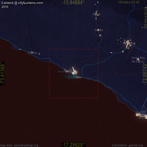
Analysis of Camaná night lights 2016
Square area 10x10 km:
 0.87%
0.87%90-99
4.11%80-89
1.73%70-79
1.73%60-69
6.93%50-59
1.95%40-49
4.33%30-39
2.81%20-29
4.76%10-19
12.55%0-9
58.23%Square area 50x50 km:
0.03%90-99
0.16%80-89
0.07%70-79
0.07%60-69
0.29%50-59
0.33%40-49
0.18%30-39
0.26%20-29
0.26%10-19
0.57%0-9
97.78%Clear (daylight) street map image can be seen on geolist.org.
Map coordinates:
15° 56' 55.8" South, 73° 24' 49.2" West
16° 37' 25.5" South, 72° 42' 38" West
17° 17' 46.6" South, 72° 0' 26.7" West
Some cities around Camaná sort by population:
• Arequipa
127.8 km =79.4 mi,  78°
78°
• Ilo
183.7 km =114.1 mi,  127°
127°
• Mollendo
86.3 km =53.6 mi,  120°
120°
• Cocachacra
113.8 km =70.7 mi, 116°
• Punta de Bombón
115.1 km =71.5 mi, 121°
• Lluta
100.5 km =62.4 mi,  47°
47°
• Yura
117.4 km =72.9 mi,  69°
69°
• Orcopampa
156 km =96.9 mi,  14°
14°
3945985 (p: 16,434)
Sources (retrieved 2019-11-25):
» Earth at Night: Flat Maps 2012, 2016