Cocachacra night lights from space
Night Light of Cocachacra (Arequipa) from space (Peru) Src. Average luminocity for 10x10km area is 1.3874% and for 50x50km: 0.4145%.
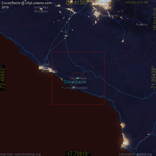
Analysis of Cocachacra night lights 2016
Square area 10x10 km:
 0%
0%90-99
0%80-89
0%70-79
0%60-69
0%50-59
1.52%40-49
0.43%30-39
0.65%20-29
0%10-19
0%0-9
97.4%Square area 50x50 km:
0%90-99
0%80-89
0%70-79
0%60-69
0.1%50-59
0.15%40-49
0.11%30-39
0.15%20-29
0.23%10-19
0.1%0-9
99.15%Clear (daylight) street map image can be seen on geolist.org.
Map coordinates:
16° 24' 54.2" South, 72° 27' 38.3" West
17° 5' 18" South, 71° 45' 27" West
17° 45' 33.1" South, 71° 3' 15.8" West
Some cities around Cocachacra sort by population:
• Arequipa
80.2 km =49.8 mi,  17°
17°
• Moquegua
88.2 km =54.8 mi,  97°
97°
• Ilo
74.9 km =46.5 mi,  143°
143°
• Mollendo
28.3 km =17.6 mi,  284°
284°
• Pacocha
75.9 km =47.2 mi, 144°
• Torata
97.2 km =60.4 mi,  89°
89°
• Punta de Bombón
10 km =6.2 mi,  201°
201°
• Yura
93.3 km =58 mi,  5°
5°
3942957 (p: 8,799)
Sources (retrieved 2019-11-25):
» Earth at Night: Flat Maps 2012, 2016