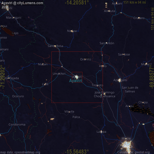
Ayaviri night lights from space
Night Light of Ayaviri (Puno) from space (Peru) Src. Average luminocity for 10x10km area is 9.1095% and for 50x50km: 0.5336%.
Analysis of Ayaviri night lights 2016
Square area 10x10 km:
 1.24%
1.24%90-99
2.89%80-89
0.83%70-79
0.83%60-69
0.83%50-59
0.83%40-49
0%30-39
2.27%20-29
1.03%10-19
0%0-9
89.26%Square area 50x50 km:
0.05%90-99
0.12%80-89
0.05%70-79
0.05%60-69
0.07%50-59
0.17%40-49
0%30-39
0.12%20-29
0.11%10-19
0%0-9
99.27%Clear (daylight) street map image can be seen on geolist.org.
Map coordinates:
14° 12' 20.9" South, 71° 17' 31.3" West
14° 53' 11" South, 70° 35' 20" West
15° 33' 53.4" South, 69° 53' 8.8" West
Some cities around Ayaviri sort by population:
• Juliaca
83.9 km =52.1 mi,  144°
144°
• Puno
122.5 km =76.1 mi,  150°
150°
• Sicuani
97 km =60.3 mi,  315°
315°
• La Rinconada
126.1 km =78.4 mi,  76°
76°
• Azángaro
42.3 km =26.3 mi,  93°
93°
• Atuncolla
100.3 km =62.3 mi, 152°
• Hacienda Huancane
108.9 km =67.7 mi,  196°
196°
• Macusani
90.8 km =56.4 mi,  10°
10°
3946985 (p: 19,310)
Sources (retrieved 2019-11-25):
» Earth at Night: Flat Maps 2012, 2016