Desaguadero night lights from space
Night Light of Desaguadero (Puno) from space (Peru) Src. Average luminocity for 10x10km area is 7.5368% and for 50x50km: 0.6109%.
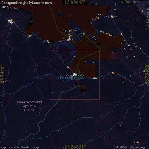
Analysis of Desaguadero night lights 2016
Square area 10x10 km:
 0.87%
0.87%90-99
0%80-89
1.08%70-79
1.52%60-69
0.87%50-59
1.73%40-49
1.73%30-39
3.46%20-29
0%10-19
0%0-9
88.74%Square area 50x50 km:
0.03%90-99
0%80-89
0.05%70-79
0.22%60-69
0.13%50-59
0.13%40-49
0.13%30-39
0.18%20-29
0%10-19
0%0-9
99.12%Clear (daylight) street map image can be seen on geolist.org.
Map coordinates:
15° 53' 25.6" South, 69° 44' 41.3" West
16° 33' 56" South, 69° 2' 30" West
17° 14' 17.9" South, 68° 20' 18.8" West
Some cities around Desaguadero sort by population:
• La Paz, BO
95.3 km =59.2 mi,  85°
85°
• Puno
131.8 km =81.9 mi,  307°
307°
• Yunguyo
35.4 km =22 mi,  352°
352°
• Ilave
85.6 km =53.2 mi, 308°
• Achacachi, BO
68.9 km =42.8 mi,  33°
33°
• Putina
128.1 km =79.6 mi,  340°
340°
• Juli
58.3 km =36.2 mi, 311°
• San Pedro, BO
41.8 km =26 mi, 29°
3941492 (p: 5,329)
Sources (retrieved 2019-11-25):
» Earth at Night: Flat Maps 2012, 2016