Huancabamba night lights from space
Night Light of Huancabamba (Piura) from space (Peru) Src. Average luminocity for 10x10km area is 3.5145% and for 50x50km: 0.2894%.
Analysis of Huancabamba night lights 2016
Square area 10x10 km:
 0.41%
0.41%90-99
0.41%80-89
0.83%70-79
0%60-69
0.41%50-59
1.24%40-49
0.83%30-39
0.41%20-29
0.41%10-19
0%0-9
95.04%Square area 50x50 km:
0.02%90-99
0.02%80-89
0.07%70-79
0%60-69
0.05%50-59
0.12%40-49
0.04%30-39
0.05%20-29
0.08%10-19
0.05%0-9
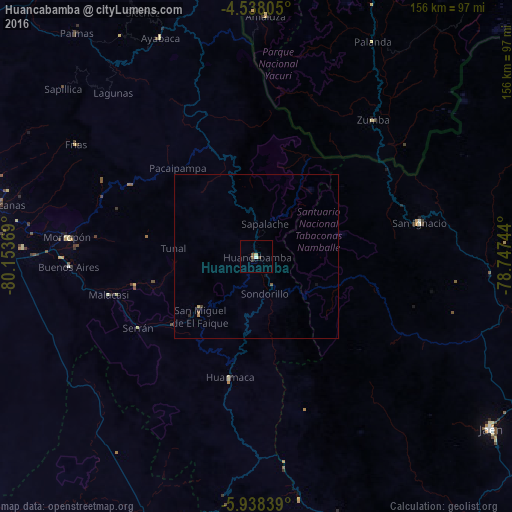
99.5%Clear (daylight) street map image can be seen on geolist.org.
Map coordinates:
4° 32' 17" South, 80° 9' 13.3" West
5° 14' 19" South, 79° 27' 2" West
5° 56' 18.2" South, 78° 44' 50.8" West
Some cities around Huancabamba sort by population:
• Chulucanas
80.5 km =50 mi,  281°
281°
• Jaén
88.2 km =54.8 mi,  126°
126°
• Pueblo Nuevo
71.6 km =44.5 mi,  222°
222°
• Morropón
57.9 km =36 mi, 275°
• Olmos
89.1 km =55.4 mi,  201°
201°
• Buenos Aires
56.9 km =35.4 mi,  267°
267°
• San Ignacio
50.8 km =31.6 mi,  78°
78°
• Ayabaca
72.7 km =45.2 mi,  336°
336°
3696466 (p: 8,553)
Sources (retrieved 2019-11-25):
» Earth at Night: Flat Maps 2012, 2016