Buenos Aires night lights from space
Night Light of Buenos Aires (Piura) from space (Peru) Src. Average luminocity for 10x10km area is 3.9897% and for 50x50km: 1.6236%.
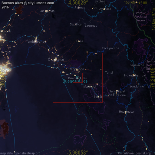
Analysis of Buenos Aires night lights 2016
Square area 10x10 km:
 0.41%
0.41%90-99
0.41%80-89
0%70-79
1.65%60-69
0%50-59
0.21%40-49
0.62%30-39
0.83%20-29
0.83%10-19
0.83%0-9
94.21%Square area 50x50 km:
0.09%90-99
0.1%80-89
0.47%70-79
0.15%60-69
0.15%50-59
0.18%40-49
0.34%30-39
0.51%20-29
0.21%10-19
0.17%0-9
97.62%Clear (daylight) street map image can be seen on geolist.org.
Map coordinates:
4° 33' 37" South, 80° 40' 2.3" West
5° 15' 39" South, 79° 57' 51" West
5° 57' 38.1" South, 79° 15' 39.8" West
Some cities around Buenos Aires sort by population:
• Piura
74.4 km =46.2 mi,  275°
275°
• Chulucanas
28.9 km =18 mi,  310°
310°
• Tambo Grande
56.2 km =34.9 mi, 311°
• Pueblo Nuevo
51.5 km =32 mi,  169°
169°
• Morropón
8.3 km =5.2 mi,  354°
354°
• Las Lomas
74.4 km =46.2 mi,  335°
335°
• Huancabamba
56.9 km =35.4 mi,  87°
87°
• Ayabaca
74.4 km =46.2 mi,  21°
21°
3699223 (p: 7,932)
Sources (retrieved 2019-11-25):
» Earth at Night: Flat Maps 2012, 2016