Chulucanas night lights from space
Night Light of Chulucanas (Piura) from space (Peru) Src. Average luminocity for 10x10km area is 13.4112% and for 50x50km: 2.1807%.
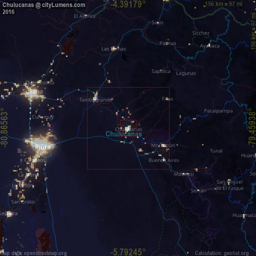
Analysis of Chulucanas night lights 2016
Square area 10x10 km:
 1.86%
1.86%90-99
1.45%80-89
3.72%70-79
1.24%60-69
0.21%50-59
1.45%40-49
1.65%30-39
1.86%20-29
0.62%10-19
1.03%0-9
84.92%Square area 50x50 km:
0.13%90-99
0.11%80-89
0.6%70-79
0.25%60-69
0.09%50-59
0.32%40-49
0.43%30-39
0.67%20-29
0.28%10-19
0.33%0-9
96.79%Clear (daylight) street map image can be seen on geolist.org.
Map coordinates:
4° 23' 30.4" South, 80° 51' 56.3" West
5° 5' 33" South, 80° 9' 45" West
5° 47' 32.8" South, 79° 27' 33.8" West
Some cities around Chulucanas sort by population:
• Piura
53.3 km =33.1 mi,  257°
257°
• Sullana
61.6 km =38.3 mi,  289°
289°
• Catacaos
60.8 km =37.8 mi,  251°
251°
• Tambo Grande
27.3 km =17 mi,  312°
312°
• Querecotillo
60.5 km =37.6 mi,  297°
297°
• Morropón
23.7 km =14.7 mi,  116°
116°
• Las Lomas
49.7 km =30.9 mi,  349°
349°
• Buenos Aires
28.9 km =18 mi,  130°
130°
3698105 (p: 68,835)
Sources (retrieved 2019-11-25):
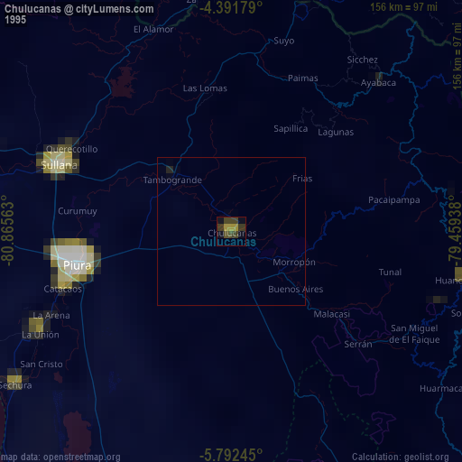
» NASA, Earths city lights 1995
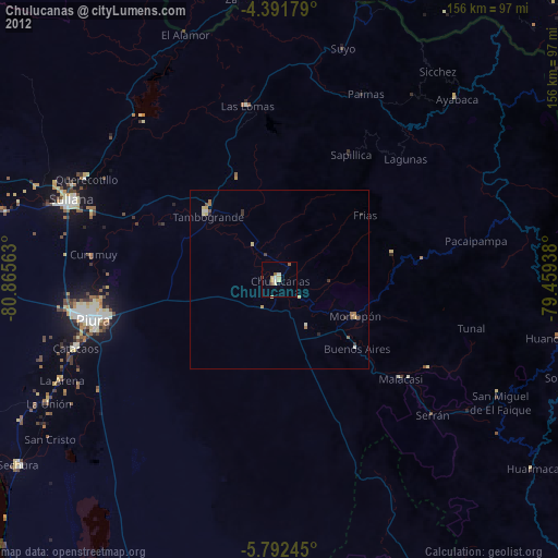
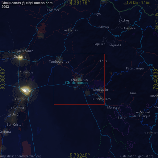
» NASA city lights 2003
» Earth at Night: Flat Maps 2012, 2016