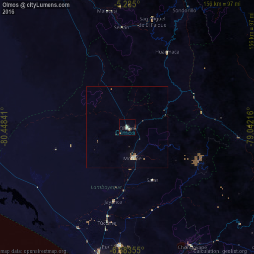
Olmos night lights from space
Night Light of Olmos (Lambayeque) from space (Peru) Src. Average luminocity for 10x10km area is 9.9587% and for 50x50km: 1.2003%.
Analysis of Olmos night lights 2016
Square area 10x10 km:
 0.41%
0.41%90-99
3.1%80-89
1.65%70-79
1.03%60-69
0.83%50-59
0.83%40-49
0.83%30-39
1.03%20-29
2.89%10-19
1.03%0-9
86.36%Square area 50x50 km:
0.06%90-99
0.21%80-89
0.17%70-79
0.09%60-69
0.25%50-59
0.11%40-49
0.21%30-39
0.28%20-29
0.18%10-19
0.11%0-9
98.33%Clear (daylight) street map image can be seen on geolist.org.
Map coordinates:
5° 17' 6" South, 80° 26' 54.3" West
5° 59' 5" South, 79° 44' 43" West
6° 41' 0.8" South, 79° 2' 31.8" West
Some cities around Olmos sort by population:
• Picsi
81.6 km =50.7 mi,  181°
181°
• Ferreñafe
72.9 km =45.3 mi, 183°
• Motupe
18.9 km =11.7 mi,  169°
169°
• Pueblo Nuevo
33.5 km =20.8 mi,  332°
332°
• Mochumí
63.5 km =39.5 mi,  191°
191°
• Túcume
59.3 km =36.8 mi, 192°
• Mórrope
67.9 km =42.2 mi,  205°
205°
• Jayanca
45.9 km =28.5 mi, 190°
3694256 (p: 9,800)
Sources (retrieved 2019-11-25):
» Earth at Night: Flat Maps 2012, 2016