Ayabaca night lights from space
Night Light of Ayabaca (Piura) from space (Peru) Src. Average luminocity for 10x10km area is 2.1157% and for 50x50km: 0.1731%.
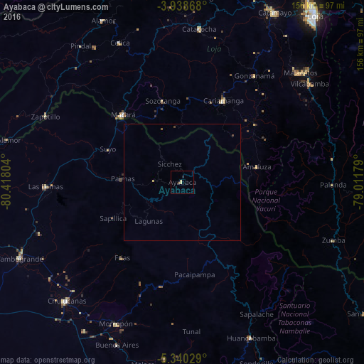
Analysis of Ayabaca night lights 2016
Square area 10x10 km:
 0%
0%90-99
0%80-89
1.65%70-79
0%60-69
0%50-59
0%40-49
0.83%30-39
0%20-29
0.83%10-19
0%0-9
96.69%Square area 50x50 km:
0%90-99
0%80-89
0.1%70-79
0%60-69
0%50-59
0.03%40-49
0.1%30-39
0%20-29
0.03%10-19
0%0-9
99.73%Clear (daylight) street map image can be seen on geolist.org.
Map coordinates:
3° 56' 19.2" South, 80° 25' 4.9" West
4° 38' 23.4" South, 79° 42' 53.7" West
5° 20' 25" South, 79° 0' 42.4" West
Some cities around Ayabaca sort by population:
• Chulucanas
70.7 km =43.9 mi,  224°
224°
• Cariamanga, EC
38.9 km =24.2 mi,  26°
26°
• Macará, EC
38.3 km =23.8 mi,  318°
318°
• Morropón
67.1 km =41.7 mi,  204°
204°
• Catacocha, EC
66 km =41 mi,  6°
6°
• Las Lomas
59 km =36.7 mi,  268°
268°
• Huancabamba
72.7 km =45.2 mi,  156°
156°
• Celica, EC
65.5 km =40.7 mi,  335°
335°
3699502 (p: 5,270)
Sources (retrieved 2019-11-25):
» Earth at Night: Flat Maps 2012, 2016