Jaén night lights from space
Night Light of Jaén (Cajamarca) from space (Peru) Src. Average luminocity for 10x10km area is 18.1095% and for 50x50km: 0.9312%.
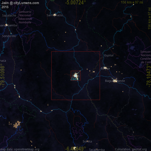
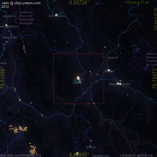
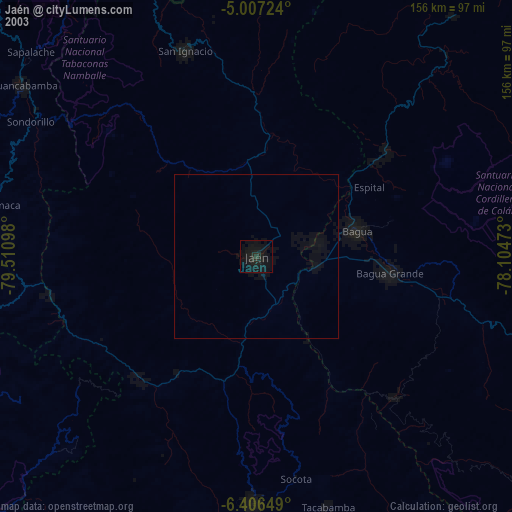
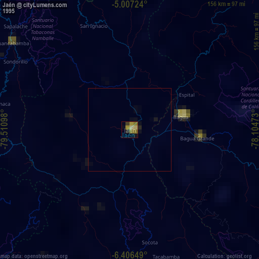
Analysis of Jaén night lights 2016
Square area 10x10 km:
 2.07%
2.07%90-99
3.1%80-89
3.1%70-79
1.86%60-69
1.45%50-59
2.27%40-49
4.34%30-39
0%20-29
2.69%10-19
2.89%0-9
76.24%Square area 50x50 km:
0.09%90-99
0.13%80-89
0.16%70-79
0.11%60-69
0.09%50-59
0.13%40-49
0.18%30-39
0%20-29
0.15%10-19
0.14%0-9
98.83%Clear (daylight) street map image can be seen on geolist.org.
Map coordinates:
5° 0' 26.1" South, 79° 30' 39.5" West
5° 42' 26.2" South, 78° 48' 28.3" West
6° 24' 23.4" South, 78° 6' 17" West
Some cities around Jaén sort by population:
• La Peca
42.6 km =26.5 mi,  75°
75°
• Bagua Grande
40.9 km =25.4 mi,  97°
97°
• Chota
95.3 km =59.2 mi,  169°
169°
• Olmos
108.2 km =67.2 mi,  253°
253°
• Huancabamba
88.2 km =54.8 mi,  306°
306°
• San Ignacio
66 km =41 mi,  341°
341°
• Cajaruro
42.4 km =26.3 mi,  94°
94°
• Bellavista
15.2 km =9.4 mi,  71°
71°
3696150 (p: 52,493)
Sources (retrieved 2019-11-25):
» NASA, Earths city lights 1995
» NASA city lights 2003
» Earth at Night: Flat Maps 2012, 2016