Pueblo Nuevo night lights from space
Night Light of Pueblo Nuevo (Lambayeque) from space (Peru) Src. Average luminocity for 10x10km area is 0% and for 50x50km: 0.0273%.
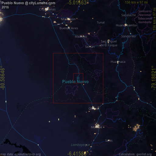
Analysis of Pueblo Nuevo night lights 2016
Square area 10x10 km:
 0%
0%90-99
0%80-89
0%70-79
0%60-69
0%50-59
0%40-49
0%30-39
0%20-29
0%10-19
0%0-9
100%Square area 50x50 km:
0%90-99
0%80-89
0%70-79
0%60-69
0.03%50-59
0%40-49
0%30-39
0%20-29
0%10-19
0%0-9
99.97%Clear (daylight) street map image can be seen on geolist.org.
Map coordinates:
5° 0' 59.9" South, 80° 35' 11.3" West
5° 43' 0" South, 79° 52' 60" West
6° 24' 57.1" South, 79° 10' 48.8" West
Some cities around Pueblo Nuevo sort by population:
• Chulucanas
76 km =47.2 mi,  335°
335°
• Motupe
51.9 km =32.2 mi,  158°
158°
• Morropón
59.7 km =37.1 mi,  350°
350°
• Olmos
33.5 km =20.8 mi,  152°
152°
• Huancabamba
71.6 km =44.5 mi,  42°
42°
• Buenos Aires
51.5 km =32 mi, 349°
• Túcume
87.9 km =54.6 mi,  178°
178°
• Jayanca
75.3 km =46.8 mi,  174°
174°
3693305 (p: 12,471)
Sources (retrieved 2019-11-25):
» Earth at Night: Flat Maps 2012, 2016