Morropón night lights from space
Night Light of Morropón (Piura) from space (Peru) Src. Average luminocity for 10x10km area is 6.4008% and for 50x50km: 1.7776%.
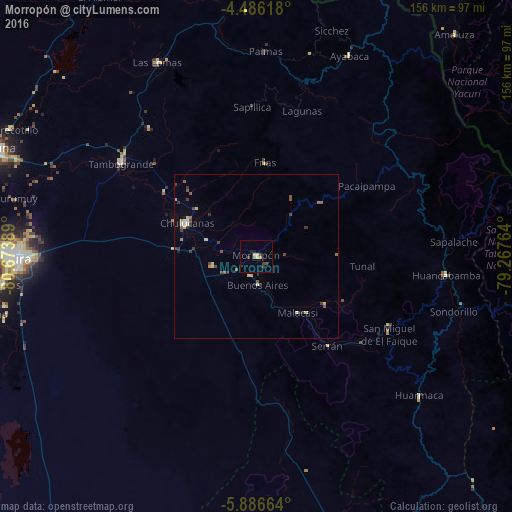
Analysis of Morropón night lights 2016
Square area 10x10 km:
 0%
0%90-99
0%80-89
2.48%70-79
1.24%60-69
0.41%50-59
0%40-49
1.03%30-39
3.1%20-29
0%10-19
1.86%0-9
89.88%Square area 50x50 km:
0.09%90-99
0.1%80-89
0.44%70-79
0.18%60-69
0.15%50-59
0.32%40-49
0.36%30-39
0.63%20-29
0.21%10-19
0.17%0-9
97.34%Clear (daylight) street map image can be seen on geolist.org.
Map coordinates:
4° 29' 10.2" South, 80° 40' 26" West
5° 11' 12.5" South, 79° 58' 14.7" West
5° 53' 11.9" South, 79° 16' 3.5" West
Some cities around Morropón sort by population:
• Piura
73.3 km =45.5 mi,  269°
269°
• Chulucanas
23.7 km =14.7 mi,  296°
296°
• Tambo Grande
50.5 km =31.4 mi, 304°
• Pueblo Nuevo
59.7 km =37.1 mi,  170°
170°
• Las Lomas
66.7 km =41.4 mi,  332°
332°
• Huancabamba
57.9 km =36 mi,  95°
95°
• Buenos Aires
8.3 km =5.2 mi, 174°
• Ayabaca
67.1 km =41.7 mi,  24°
24°
3694582 (p: 12,307)
Sources (retrieved 2019-11-25):
» Earth at Night: Flat Maps 2012, 2016