San Ignacio night lights from space
Night Light of San Ignacio (Cajamarca) from space (Peru) Src. Average luminocity for 10x10km area is 4.5% and for 50x50km: 0.2712%.
Analysis of San Ignacio night lights 2016
Square area 10x10 km:
 0%
0%90-99
1.65%80-89
0%70-79
1.65%60-69
0%50-59
0%40-49
0.62%30-39
1.86%20-29
0.41%10-19
0.41%0-9
93.39%Square area 50x50 km:
0%90-99
0.07%80-89
0%70-79
0.07%60-69
0%50-59
0.07%40-49
0.06%30-39
0.08%20-29
0.05%10-19
0.12%0-9
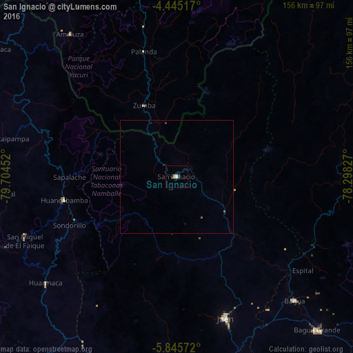
99.49%Clear (daylight) street map image can be seen on geolist.org.
Map coordinates:
4° 26' 42.6" South, 79° 42' 16.3" West
5° 8' 45" South, 79° 0' 5" West
5° 50' 44.6" South, 78° 17' 53.8" West
Some cities around San Ignacio sort by population:
• Jaén
66 km =41 mi,  161°
161°
• La Peca
81.3 km =50.5 mi,  129°
129°
• Bagua Grande
91.9 km =57.1 mi,  137°
137°
• Huancabamba
50.8 km =31.6 mi,  258°
258°
• Buenos Aires
107.4 km =66.7 mi, 263°
• Cajaruro
91.5 km =56.9 mi, 135°
• Bellavista
67.9 km =42.2 mi,  148°
148°
• Ayabaca
97 km =60.3 mi,  305°
305°
3692529 (p: 7,912)
Sources (retrieved 2019-11-25):
» Earth at Night: Flat Maps 2012, 2016