Ilo night lights from space
Night Light of Ilo (Moquegua) from space (Peru) Src. Average luminocity for 10x10km area is 41.0434% and for 50x50km: 2.983%.
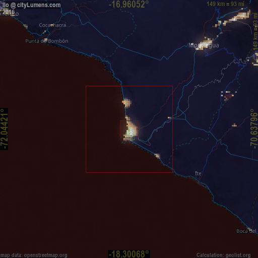

Analysis of Ilo night lights 2016
Square area 10x10 km:
 1.65%
1.65%90-99
3.72%80-89
9.3%70-79
7.44%60-69
13.64%50-59
7.02%40-49
4.55%30-39
3.1%20-29
7.85%10-19
28.93%0-9
12.81%Square area 50x50 km:
0.06%90-99
0.15%80-89
0.43%70-79
0.41%60-69
0.82%50-59
0.73%40-49
0.34%30-39
0.37%20-29
0.83%10-19
2.06%0-9
93.79%Clear (daylight) street map image can be seen on geolist.org.
Map coordinates:
16° 57' 37.9" South, 72° 2' 39.2" West
17° 37' 54.7" South, 71° 20' 27.9" West
18° 18' 2.4" South, 70° 38' 16.7" West
Some cities around Ilo sort by population:
• Tacna
122.7 km =76.2 mi,  110°
110°
• Moquegua
64.6 km =40.1 mi,  41°
41°
• Mollendo
98.5 km =61.2 mi,  313°
313°
• Ilabaya
90.8 km =56.4 mi,  75°
75°
• Cocachacra
74.9 km =46.5 mi,  323°
323°
• Pacocha
1.6 km =1 mi,  194°
194°
• Torata
81.2 km =50.5 mi, 40°
• Punta de Bombón
70.1 km =43.6 mi, 316°
3938415 (p: 53,476)
Sources (retrieved 2019-11-25):
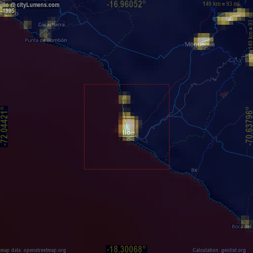
» NASA, Earths city lights 1995
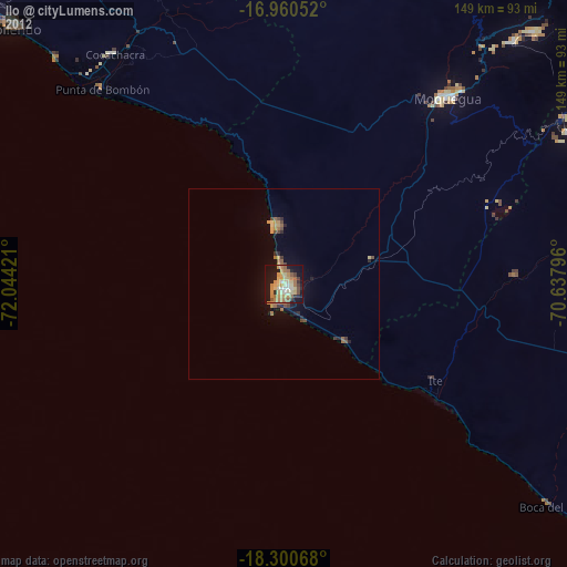
» NASA city lights 2003
» Earth at Night: Flat Maps 2012, 2016