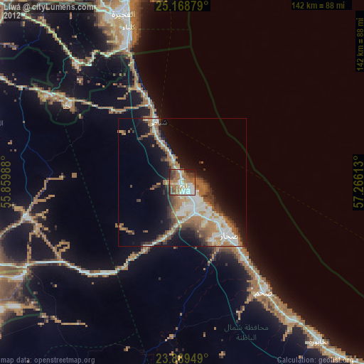
Liwá night lights from space
Night Light of Liwá (Al Batinah North) from space (Oman) Src. Average luminocity for 10x10km area is 70.869% and for 50x50km: 23.223%.
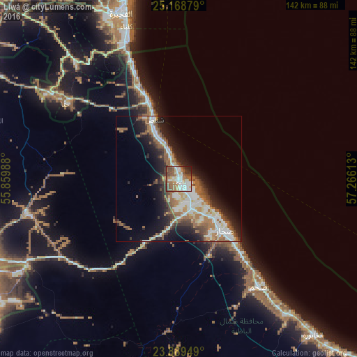
Analysis of Liwá night lights 2016
Square area 10x10 km:
 17.86%
90-99
19.05%80-89
5.16%70-79
4.96%60-69
15.48%50-59
15.08%40-49
12.5%30-39
4.37%20-29
4.17%10-19
1.39%0-9
0%Square area 50x50 km:
4.25%90-99
4.89%80-89
2.03%70-79
1.85%60-69
4.46%50-59
4.6%40-49
2.65%30-39
3.38%20-29
5.19%10-19
10.47%0-9
56.23%Clear (daylight) street map image can be seen on geolist.org.
Map coordinates:
25° 10' 7.6" North, 55° 51' 35.6" East
24° 31' 50.8" North, 56° 33' 46.8" East
23° 53' 22.2" North, 57° 15' 58.1" East
Some cities around Liwá sort by population:
• Sohar
25.2 km =15.7 mi,  143°
143°
• Şaḩam
51.7 km =32.1 mi, 140°
• Al Fujairah City, AE
68.8 km =42.8 mi,  341°
341°
• Reef Al Fujairah City, AE
75.3 km =46.8 mi, 335°
• Al Buraymī
83.9 km =52.1 mi,  248°
248°
• Al Ain City, AE
89.6 km =55.7 mi, 245°
• Al Khābūrah
82.2 km =51.1 mi, 139°
• Shināş
25.5 km =15.8 mi, 337°
289174 (p: 26,372)
Sources (retrieved 2019-11-25):
» Earth at Night: Flat Maps 2012, 2016